UN/LOCODE hub · Czechia
CZKCL

Kostelec nad Cernými Lesy
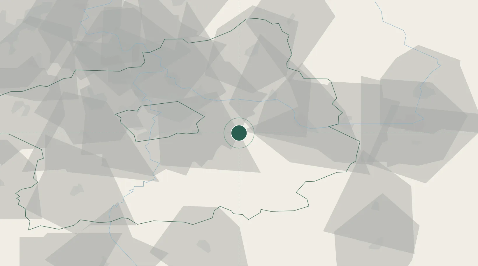
50.0000°, 14.8667°
4,156
Population
2
Transport functions

Transport Functions

Rail
Road
UN/LOCODE

Hub Profile

Place type
Populated place
GeoNames
Region
Central Bohemia
GeoNames
Population
4,156
GeoNames
Time zone
Europe/Prague
GeoNames
Elevation
398 m
GeoNames

Location

Location of CZKCL
Natural Earth 10m (public domain) · Central Bohemia · CZKCL · 50.00, 14.87GoogleOSMYandex

Nearby Logistics Neighbours

Cities
  1. 1Zdánice (Kolín)7 km
  2. 2Hradesin9 km
  3. 3Stribrna Skalice11 km
  4. 4Brezany12 km
  5. 5Trebestovice13 km
Nearest neighbours — logibook spatial index (haversine) over the source coordinates
Ports
  1. 1Szczecin381 km
  2. 2Police397 km
  3. 3Swinoujscie437 km
  4. 4Wolgast456 km
  5. 5Kolobrzeg471 km
Nearest neighbours — logibook spatial index (haversine) over the source coordinates
Airports
  1. 1Kostomlaty Airstrip24 km
  2. 2Prague–Kbely Air Base27 km
  3. 3Čáslav Air Base37 km
  4. 4Vodochody Airport41 km
  5. 5Václav Havel Airport Prague45 km
Nearest neighbours — logibook spatial index (haversine) over the source coordinates
Trade Zones
  1. 1Kolín - Ovčáry Industrial Zone27 km
  2. 2Industrial Zone Kutna Hora31 km
  3. 3Světlá nad Sázavou Municipal Industrial Zone54 km
  4. 4Pardubice City Industrial Zone68 km
  5. 5Most - Joseph Industrial Zone102 km
Nearest neighbours — logibook spatial index (haversine) over the source coordinates
DatabookThe Record of Consolidated Knowledge
Czechia beyond logistics?
Browse databook

All Sources

LocationsUN/LOCODE
UN/LOCODE — free
LocationsGeoNames
CC BY 4.0
Portsthe NGA World Port Index
Public domain (US gov)
AirportsOurAirports
Public domain
Trade Zonesthe World Bank SEZ database
CC BY 4.0
Trade ZonesOpen Zone Map
CC BY
← Czechia locations