Transport Functions
Rail
Road
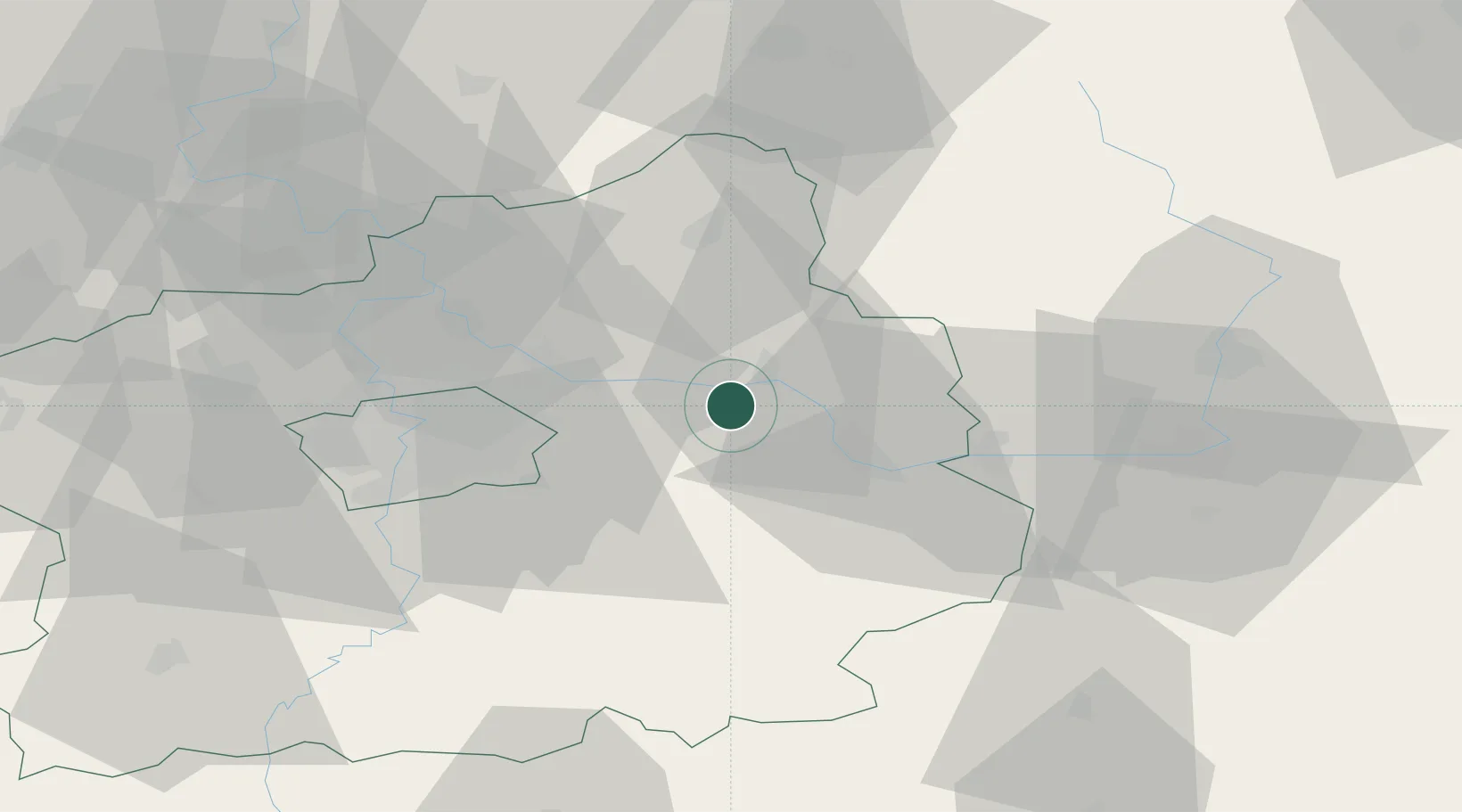
Hub Profile
Place type
Populated place
Region
Central Bohemia
Population
3,301
Time zone
Europe/Prague
Elevation
188 m
Location
Nearby Logistics Neighbours
Cities
- 1Zverínek2 km
- 2Trebestovice4 km
- 3Lysá nad Labem13 km
- 4Mochov13 km
- 5Libice nad Cidlinou13 km
Ports
- 1Szczecin366 km
- 2Police383 km
- 3Swinoujscie424 km
- 4Wolgast443 km
- 5Kolobrzeg456 km
Airports
- 1Kostomlaty Airstrip9 km
- 2Prague–Kbely Air Base31 km
- 3Čáslav Air Base36 km
- 4Vodochody Airport43 km
- 5Václav Havel Airport Prague52 km
Trade Zones
DatabookThe Record of Consolidated Knowledge
Czechia beyond logistics?