Transport Functions
Rail
Road
Hub Profile
Place type
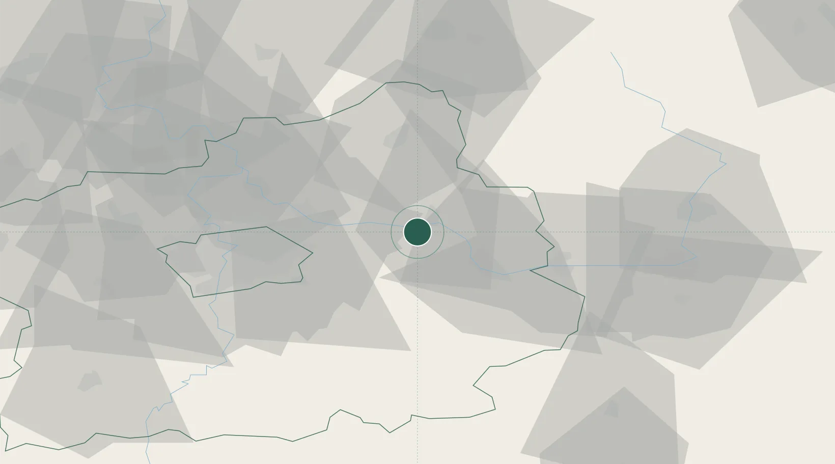
Populated place
Region
Central Bohemia
Population
237
Time zone
Europe/Prague
Elevation
184 m
Location
Nearby Logistics Neighbours
Cities
- 1Sadská2 km
- 2Trebestovice7 km
- 3Libice nad Cidlinou12 km
- 4Lysá nad Labem13 km
- 5Velký Osek13 km
Ports
- 1Szczecin365 km
- 2Police381 km
- 3Swinoujscie422 km
- 4Wolgast442 km
- 5Kolobrzeg454 km
Airports
- 1Kostomlaty Airstrip8 km
- 2Prague–Kbely Air Base33 km
- 3Čáslav Air Base36 km
- 4Vodochody Airport44 km
- 5Václav Havel Airport Prague53 km
Trade Zones
DatabookThe Record of Consolidated Knowledge
Czechia beyond logistics?