Free Trade Zone · Czechia

Pardubice City Industrial Zone Active
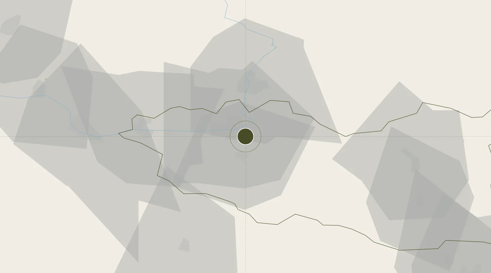
50.0222°, 15.8150°
71 ha
Zone area
387.4 km
Nearest port
5.4 km
Nearest airport

Gateway access

Nearest neighbours — logibook spatial index (haversine) over the source coordinates

Zone profile

Zone type
Free Trade Zone
Open Zone Map
Region
Pardubický
Open Zone Map
Status
Active
Open Zone Map
Management
Public
Open Zone Map
Operator
Regional Development Agency of the Pardubice Region
Open Zone Map
Legal framework
Act No 72/2000 Coll., on Investment Incentives
Open Zone Map

Location

Location of ozm-1749
Natural Earth 10m (public domain) · Pardubický · ozm-1749 · 50.02, 15.81GoogleOSMYandex

Nearby Logistics Neighbours

Ports
  1. 1Szczecin387 km
  2. 2Police403 km
  3. 3Swinoujscie446 km
  4. 4Kolobrzeg467 km
  5. 5Wolgast469 km
Nearest neighbours — logibook spatial index (haversine) over the source coordinates
Airports
  1. 1Pardubice Airport5 km
  2. 2Čáslav Air Base32 km
  3. 3Kostomlaty Airstrip67 km
  4. 4Prague–Kbely Air Base91 km
  5. 5Náměšť Air Base98 km
Nearest neighbours — logibook spatial index (haversine) over the source coordinates
Cities
  1. 1Hostovice4 km
  2. 2Staré Hradiste5 km
  3. 3Dasice7 km
  4. 4Cepi9 km
  5. 5Moravany10 km
Nearest neighbours — logibook spatial index (haversine) over the source coordinates
Trade Zones
  1. 1Industrial Zone Kutna Hora39 km
  2. 2Kolín - Ovčáry Industrial Zone43 km
  3. 3Světlá nad Sázavou Municipal Industrial Zone49 km
  4. 4Kamienna Góra86 km
  5. 5Wałbrzych SEZ INVEST-PARK (Wałbrzyska SSE)95 km
Nearest neighbours — logibook spatial index (haversine) over the source coordinates
DatabookThe Record of Consolidated Knowledge
Czechia beyond logistics?
Browse databook

All Sources

Trade ZonesOpen Zone Map
CC BY
Portsthe NGA World Port Index
Public domain (US gov)
AirportsOurAirports
Public domain
LocationsUN/LOCODE
UN/LOCODE — free
← Czechia trade zones