UN/LOCODE hub · Czechia
CZRNB
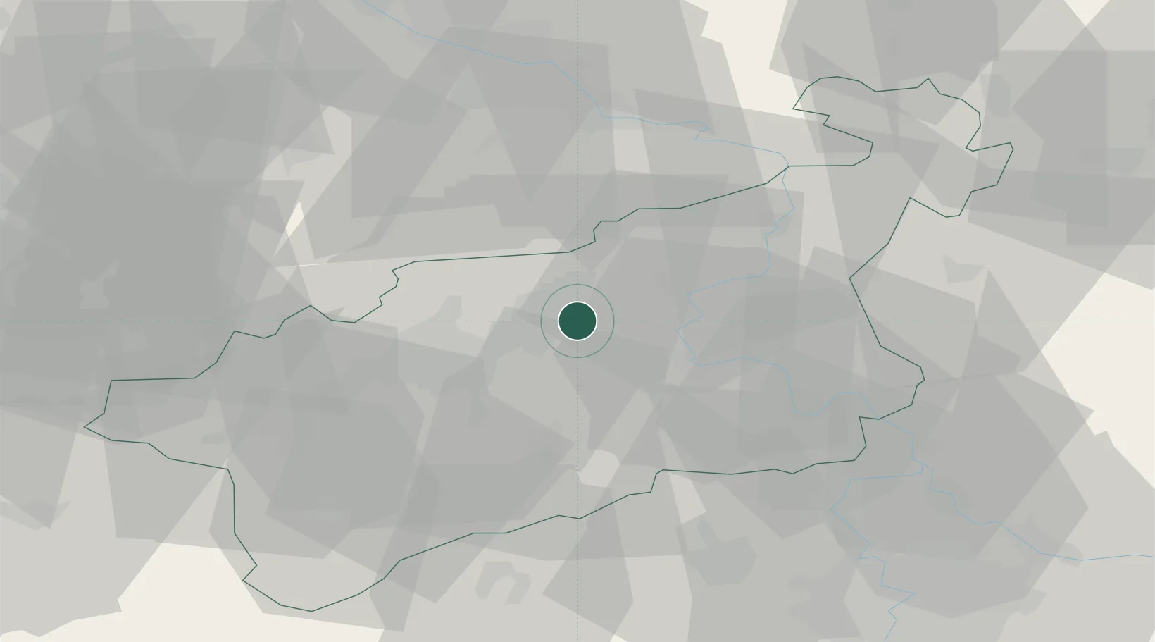
Rtyne nad Bílinou
50.6000°, 13.8500°
697
Population
2
Transport functions
Transport Functions
Rail
Road
Hub Profile
Place type
Populated place
Region
Ústecký kraj
Population
697
Time zone
Europe/Prague
Elevation
173 m
Location
Nearby Logistics Neighbours
Cities
- 1Sezemice4 km
- 2Bílina8 km
- 3Haj u Duchcova11 km
- 4Trmice12 km
- 5Libceves17 km
Ports
- 1Szczecin317 km
- 2Police334 km
- 3Swinoujscie370 km
- 4Wolgast384 km
- 5Wismar401 km
Airports
- 1Vodochody Airport58 km
- 2Dresden Airport60 km
- 3Václav Havel Airport Prague63 km
- 4Prague–Kbely Air Base73 km
- 5Karlovy Vary Airport80 km
Trade Zones
DatabookThe Record of Consolidated Knowledge
Czechia beyond logistics?