Transport Functions
Multimodal
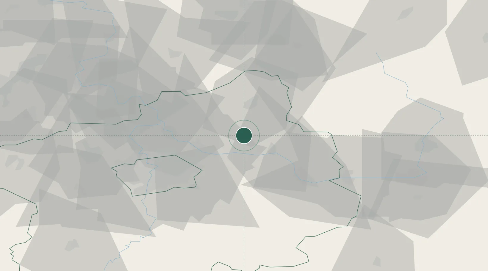
Hub Profile
Region
ST
Location
Nearby Logistics Neighbours
Cities
- 1Benátky nad Jizerou5 km
- 2Lustenice7 km
- 3Predmerice nad Jizerou9 km
- 4Lysá nad Labem9 km
- 5Dobrovice12 km
Ports
- 1Szczecin351 km
- 2Police368 km
- 3Swinoujscie408 km
- 4Wolgast428 km
- 5Kolobrzeg441 km
Airports
- 1Kostomlaty Airstrip7 km
- 2Prague–Kbely Air Base30 km
- 3Vodochody Airport36 km
- 4Václav Havel Airport Prague49 km
- 5Čáslav Air Base50 km
Trade Zones
DatabookThe Record of Consolidated Knowledge
Czechia beyond logistics?