UN/LOCODE hub · Czechia
CZPRJ

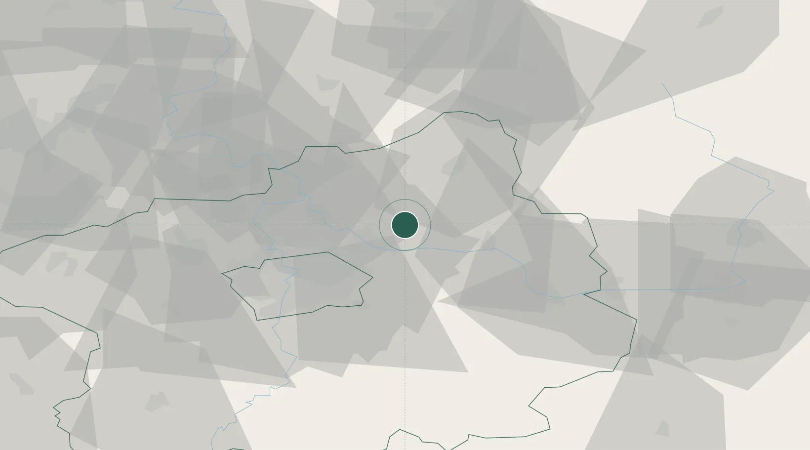
Predmerice nad Jizerou

50.2500°, 14.7833°
650
Population
1
Transport functions

Transport Functions

Multimodal
UN/LOCODE

Hub Profile

Place type
Populated place
GeoNames
Region
Central Bohemia
GeoNames
Population
650
GeoNames
Time zone
Europe/Prague
GeoNames
Elevation
189 m
GeoNames

Location

Location of CZPRJ
Natural Earth 10m (public domain) · Central Bohemia · CZPRJ · 50.25, 14.78GoogleOSMYandex

Nearby Logistics Neighbours

Cities
  1. 1Benátky nad Jizerou5 km
  2. 2Lysá nad Labem7 km
  3. 3Lipnik u Hrotovic9 km
  4. 4Nový Vestec9 km
  5. 5Celákovice9 km
Nearest neighbours — logibook spatial index (haversine) over the source coordinates
Ports
  1. 1Szczecin353 km
  2. 2Police369 km
  3. 3Swinoujscie409 km
  4. 4Wolgast428 km
  5. 5Kolobrzeg444 km
Nearest neighbours — logibook spatial index (haversine) over the source coordinates
Airports
  1. 1Kostomlaty Airstrip11 km
  2. 2Prague–Kbely Air Base22 km
  3. 3Vodochody Airport28 km
  4. 4Václav Havel Airport Prague41 km
  5. 5Čáslav Air Base55 km
Nearest neighbours — logibook spatial index (haversine) over the source coordinates
Trade Zones
  1. 1Kolín - Ovčáry Industrial Zone37 km
  2. 2Industrial Zone Kutna Hora50 km
  3. 3Pardubice City Industrial Zone78 km
  4. 4Světlá nad Sázavou Municipal Industrial Zone79 km
  5. 5Most - Joseph Industrial Zone85 km
Nearest neighbours — logibook spatial index (haversine) over the source coordinates
DatabookThe Record of Consolidated Knowledge
Czechia beyond logistics?
Browse databook

All Sources

LocationsUN/LOCODE
UN/LOCODE — free
LocationsGeoNames
CC BY 4.0
Portsthe NGA World Port Index
Public domain (US gov)
AirportsOurAirports
Public domain
Trade Zonesthe World Bank SEZ database
CC BY 4.0
Trade ZonesOpen Zone Map
CC BY
← Czechia locations