Transport Functions
Multimodal
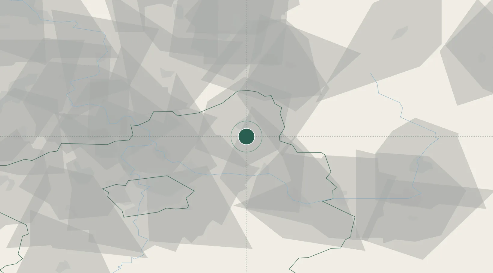
Hub Profile
Place type
Populated place
Region
Central Bohemia
Population
2,954
Time zone
Europe/Prague
Elevation
243 m
Location
Nearby Logistics Neighbours
Cities
- 1Neprevázka3 km
- 2Lustenice6 km
- 3Mladá Boleslav7 km
- 4Sukorady10 km
- 5Dolní Cetno10 km
Ports
- 1Szczecin340 km
- 2Police357 km
- 3Swinoujscie398 km
- 4Wolgast417 km
- 5Kolobrzeg430 km
Airports
- 1Kostomlaty Airstrip18 km
- 2Prague–Kbely Air Base40 km
- 3Vodochody Airport43 km
- 4Čáslav Air Base57 km
- 5Václav Havel Airport Prague57 km
Trade Zones
DatabookThe Record of Consolidated Knowledge
Czechia beyond logistics?