UN/LOCODE hub · Czechia
CZBNJ
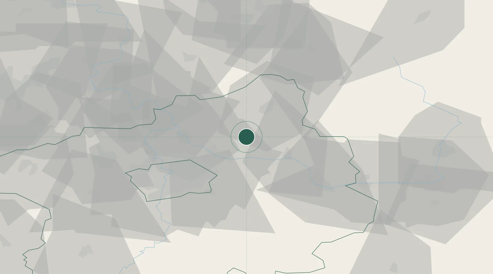
Benátky nad Jizerou
50.2833°, 14.8333°
7,879
Population
2
Transport functions
Transport Functions
Rail
Road
Hub Profile
Place type
Populated place
Region
Central Bohemia
Population
7,879
Time zone
Europe/Prague
Elevation
225 m
Location
Nearby Logistics Neighbours
Cities
- 1Lipnik u Hrotovic5 km
- 2Predmerice nad Jizerou5 km
- 3Lustenice9 km
- 4Lysá nad Labem9 km
- 5Dobrovice12 km
Ports
- 1Szczecin349 km
- 2Police366 km
- 3Swinoujscie406 km
- 4Wolgast425 km
- 5Kolobrzeg440 km
Airports
- 1Kostomlaty Airstrip11 km
- 2Prague–Kbely Air Base27 km
- 3Vodochody Airport32 km
- 4Václav Havel Airport Prague46 km
- 5Čáslav Air Base55 km
Trade Zones
DatabookThe Record of Consolidated Knowledge
Czechia beyond logistics?