Transport Functions
Rail
Road
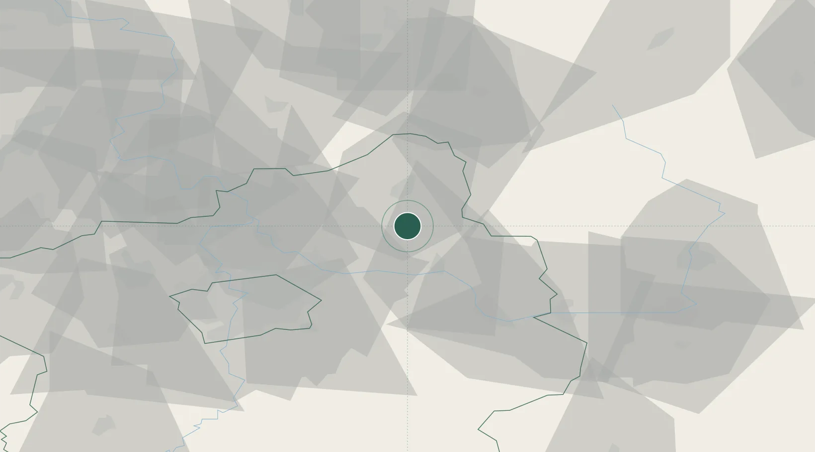
Hub Profile
Place type
Populated place
Region
Central Bohemia
Population
2,318
Time zone
Europe/Prague
Elevation
209 m
Location
Nearby Logistics Neighbours
Cities
- 1Dobrovice6 km
- 2Lipnik u Hrotovic7 km
- 3Neprevázka8 km
- 4Benátky nad Jizerou9 km
- 5Mladá Boleslav12 km
Ports
- 1Szczecin346 km
- 2Police362 km
- 3Swinoujscie403 km
- 4Wolgast423 km
- 5Kolobrzeg436 km
Airports
- 1Kostomlaty Airstrip12 km
- 2Prague–Kbely Air Base36 km
- 3Vodochody Airport41 km
- 4Čáslav Air Base52 km
- 5Václav Havel Airport Prague55 km
Trade Zones
DatabookThe Record of Consolidated Knowledge
Czechia beyond logistics?