Transport Functions
Rail
Road
Hub Profile
Place type
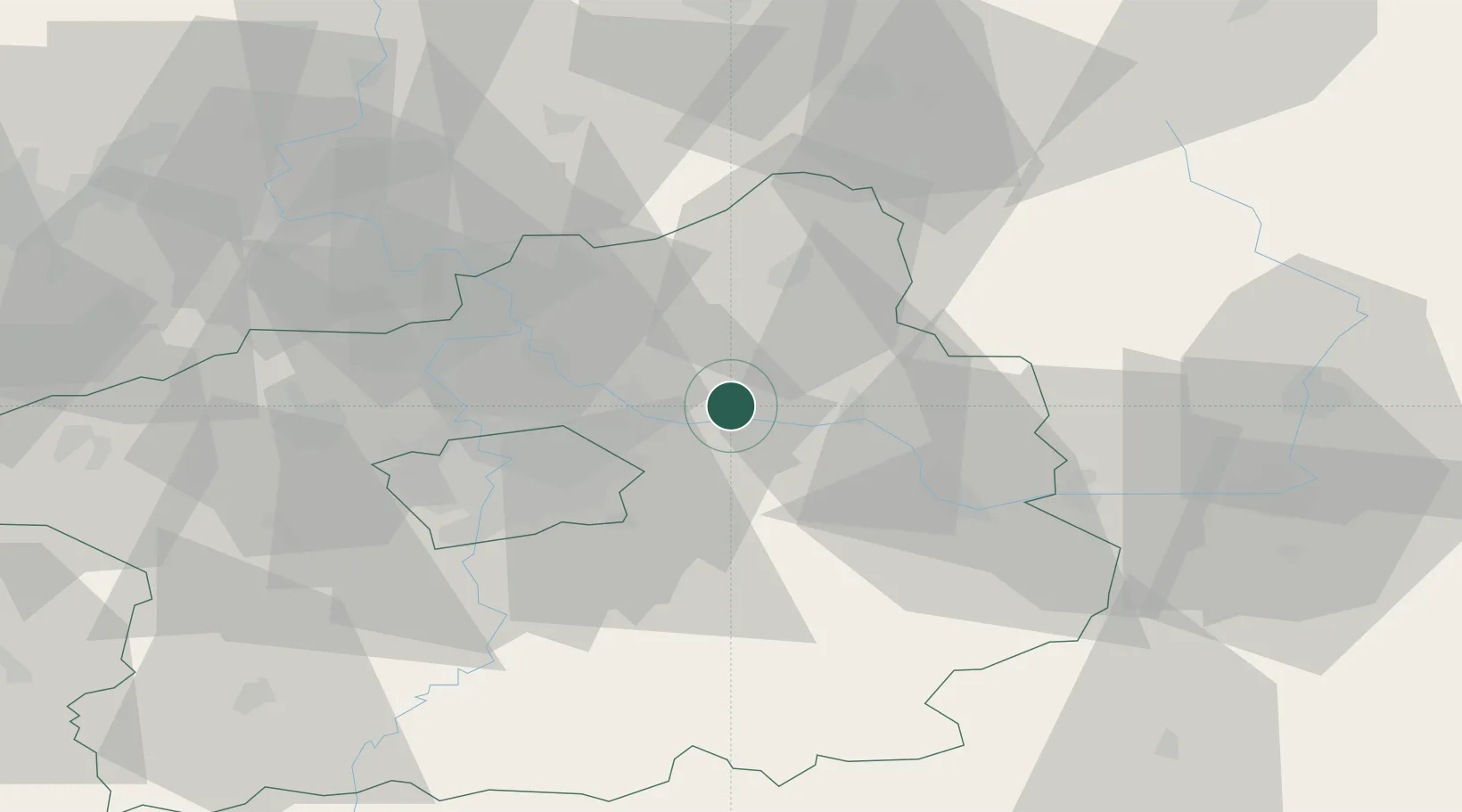
Populated place
Region
Central Bohemia
Population
8,194
Time zone
Europe/Prague
Elevation
189 m
Location
Nearby Logistics Neighbours
Cities
- 1Celákovice6 km
- 2Mochov6 km
- 3Predmerice nad Jizerou7 km
- 4Karany8 km
- 5Nový Vestec9 km
Ports
- 1Szczecin358 km
- 2Police375 km
- 3Swinoujscie415 km
- 4Wolgast434 km
- 5Kolobrzeg449 km
Airports
- 1Kostomlaty Airstrip7 km
- 2Prague–Kbely Air Base22 km
- 3Vodochody Airport31 km
- 4Václav Havel Airport Prague42 km
- 5Čáslav Air Base49 km
Trade Zones
DatabookThe Record of Consolidated Knowledge
Czechia beyond logistics?