Transport Functions
Rail
Road
Hub Profile
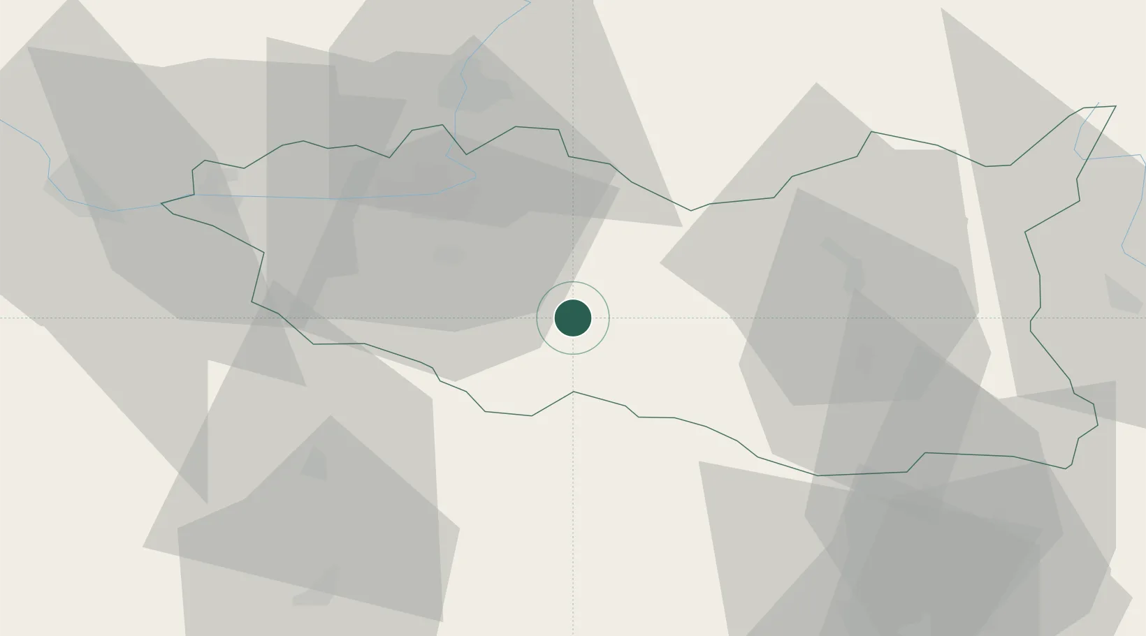
Place type
Populated place
Region
Pardubický
Population
5,415
Time zone
Europe/Prague
Elevation
412 m
Location
Nearby Logistics Neighbours
Cities
- 1Vysoké Myto16 km
- 2Moravany17 km
- 3Cerekvice nad Loucnou18 km
- 4Hostovice19 km
- 5Dasice20 km
Ports
- 1Szczecin409 km
- 2Police425 km
- 3Swinoujscie468 km
- 4Monfalcone488 km
- 5Trieste496 km
Airports
- 1Pardubice Airport26 km
- 2Čáslav Air Base45 km
- 3Náměšť Air Base77 km
- 4Kostomlaty Airstrip87 km
- 5Brno-Tuřany Airport93 km
Trade Zones
DatabookThe Record of Consolidated Knowledge
Czechia beyond logistics?