Transport Functions
Multimodal
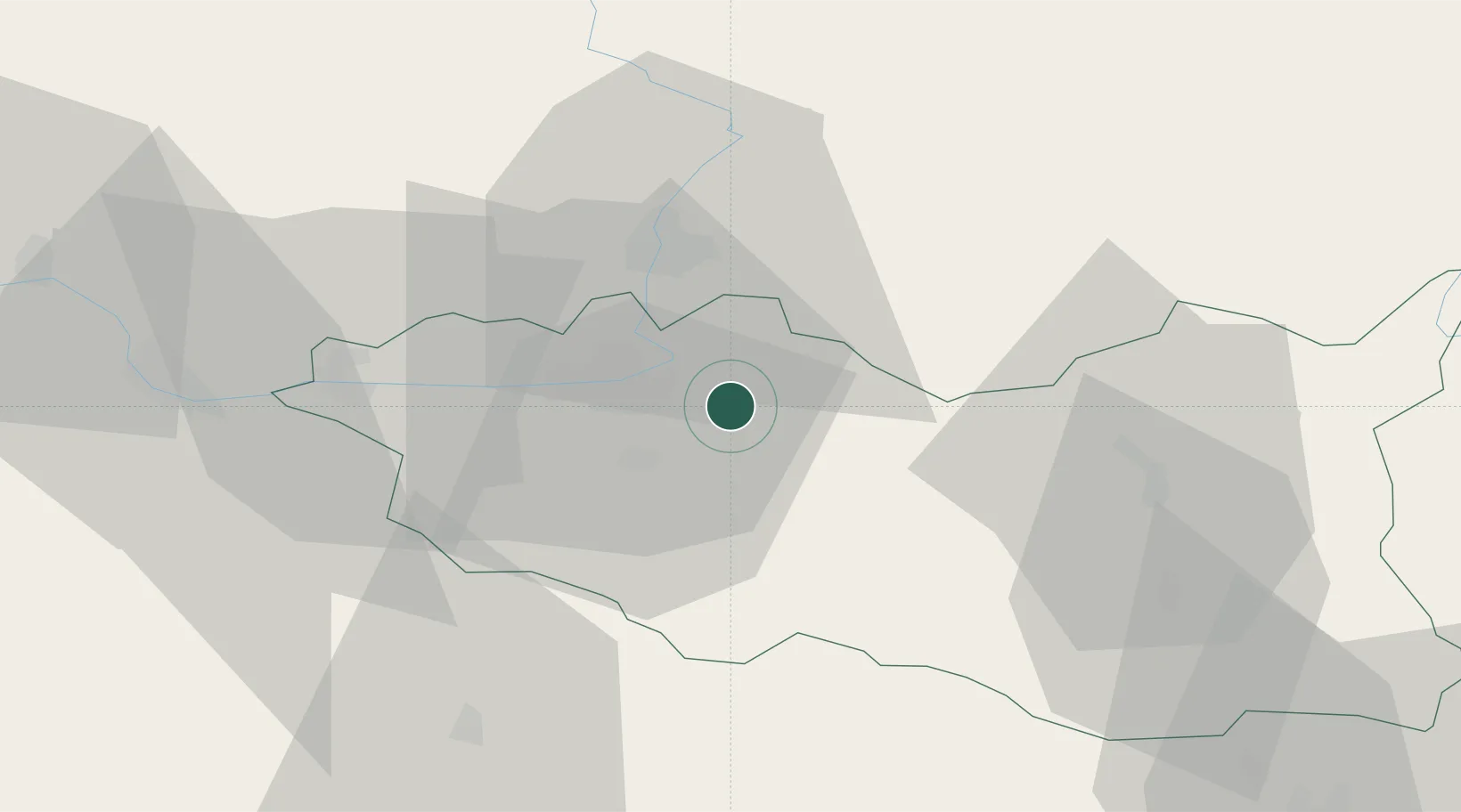
Hub Profile
Place type
Populated place
Region
Pardubický
Population
1,797
Time zone
Europe/Prague
Elevation
229 m
Location
Nearby Logistics Neighbours
Cities
- 1Moravany3 km
- 2Hostovice4 km
- 3Dolni Roven5 km
- 4Staré Hradiste11 km
- 5Borek14 km
Ports
- 1Szczecin390 km
- 2Police406 km
- 3Swinoujscie448 km
- 4Kolobrzeg468 km
- 5Wolgast472 km
Airports
- 1Pardubice Airport13 km
- 2Čáslav Air Base39 km
- 3Kostomlaty Airstrip74 km
- 4Náměšť Air Base96 km
- 5Prague–Kbely Air Base99 km
Trade Zones
DatabookThe Record of Consolidated Knowledge
Czechia beyond logistics?