Transport Functions
Rail
Road
Airport
Hub Profile
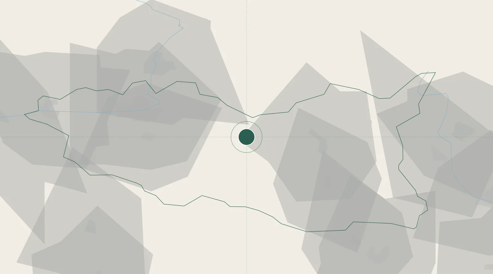
Place type
Populated place
Region
Pardubický
Population
12,293
Time zone
Europe/Prague
Elevation
291 m
Location
Nearby Logistics Neighbours
Cities
- 1Chocen7 km
- 2Cerekvice nad Loucnou7 km
- 3Dolni Roven16 km
- 4Skutec16 km
- 5Moravany17 km
Ports
- 1Szczecin401 km
- 2Police417 km
- 3Swinoujscie460 km
- 4Monfalcone503 km
- 5Trieste511 km
Airports
- 1Pardubice Airport31 km
- 2Čáslav Air Base56 km
- 3Náměšť Air Base87 km
- 4Kostomlaty Airstrip93 km
- 5Brno-Tuřany Airport97 km
Trade Zones
DatabookThe Record of Consolidated Knowledge
Czechia beyond logistics?