Transport Functions
Multimodal
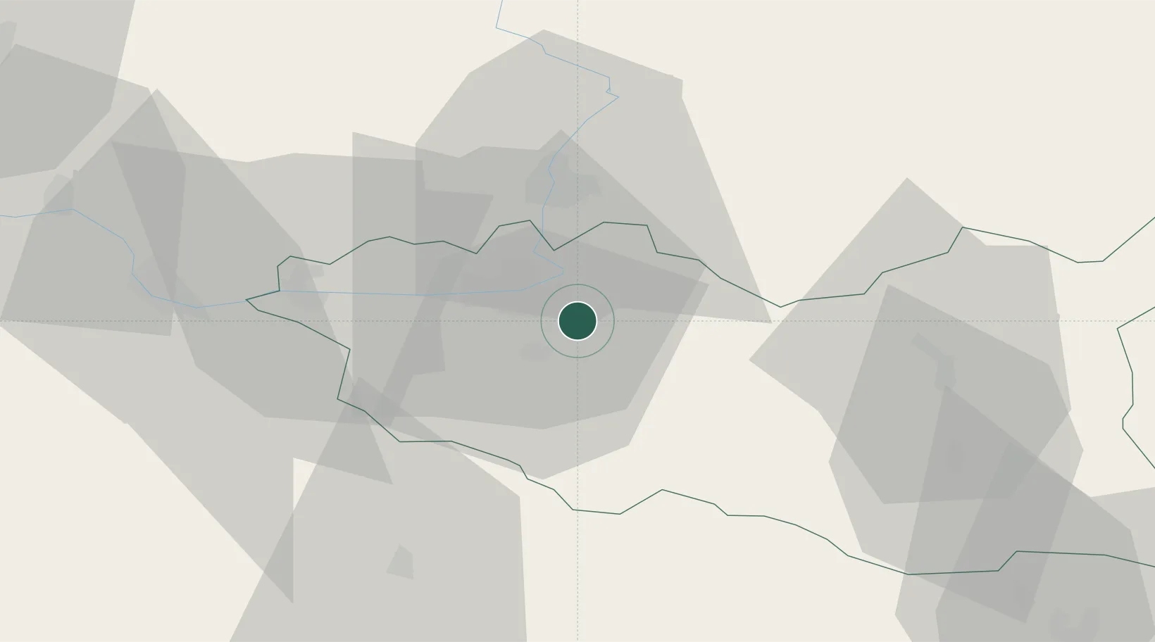
Hub Profile
Place type
Populated place
Region
Pardubický
Population
236
Time zone
Europe/Prague
Elevation
239 m
Location
Nearby Logistics Neighbours
Cities
- 1Dasice4 km
- 2Moravany6 km
- 3Dolni Roven9 km
- 4Staré Hradiste10 km
- 5Cepi12 km
Ports
- 1Szczecin391 km
- 2Police407 km
- 3Swinoujscie449 km
- 4Kolobrzeg469 km
- 5Wolgast472 km
Airports
- 1Pardubice Airport9 km
- 2Čáslav Air Base35 km
- 3Kostomlaty Airstrip71 km
- 4Náměšť Air Base95 km
- 5Prague–Kbely Air Base95 km
Trade Zones
DatabookThe Record of Consolidated Knowledge
Czechia beyond logistics?