Medium airport · Czechia

Brno-Tuřany AirportLKTB
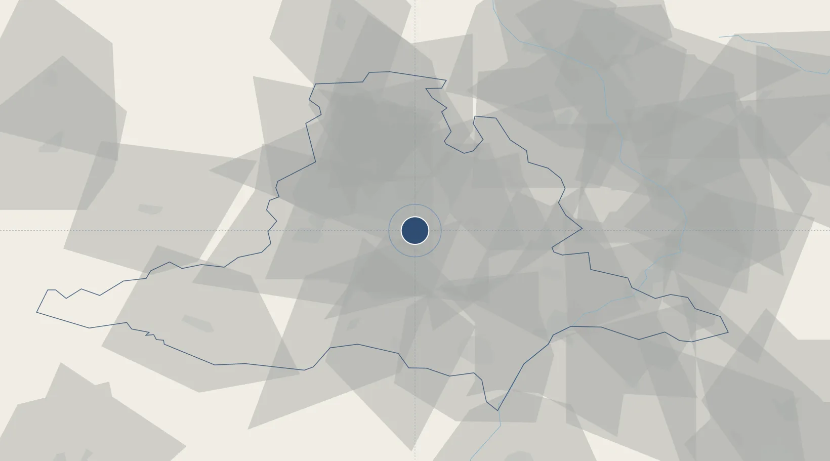
49.1513°, 16.6940°
8,694 ft
Longest runway
2
Runways
778 ft
Elevation

Runway & Layout

Brno-Tuřany Airport runway & taxiway layout
Runway & taxiway layout — OpenStreetMap (ODbL) / OurAirports

Radio Frequencies

ATIS
131.105 MHz
Turany ATIS
TWR
119.605 MHz
Turany Tower
GND
125.43 MHz
Turany Ground
APP
127.35 MHz
Brno Radar
OurAirports

Navaids

BNO VOR-DME Brno 113.90 MHz
BNO NDB Brno 368 kHz
OurAirports

Runways · 2

RunwayDimensions SurfaceTrue headingLit
09/27 8,694 × 197ft Concrete 094°
08/26 2,624 × 98ft 094°
OurAirports

Airport Specifications

IATA code
BRQ
OurAirports
ICAO code
LKTB
OurAirports
Airport class
Medium airport
OurAirports
Scheduled service
Yes
OurAirports
Runway surface
Concrete
OurAirports
Served city
Brno
OurAirports

Location

Location of LKTB
Natural Earth 10m (public domain) · Jihomoravský · LKTB · 49.15, 16.69GoogleOSMYandex

Nearby Logistics Neighbours

Airports
  1. 1Náměšť Air Base42 km
  2. 2Kunovice Airport56 km
  3. 3Přerov Air Base60 km
  4. 4Malacky/Kuchyňa Air Base89 km
  5. 5Piešťany Airport102 km
Nearest neighbours — logibook spatial index (haversine) over the source coordinates
Cities
  1. 1Jiríkovice4 km
  2. 2Slapanice4 km
  3. 3Brno6 km
  4. 4Slavkov u Brna13 km
  5. 5Strelice14 km
Nearest neighbours — logibook spatial index (haversine) over the source coordinates
Ports
  1. 1Monfalcone443 km
  2. 2Trieste448 km
  3. 3Muggia452 km
  4. 4Rijeka Luka458 km
  5. 5Bakar458 km
Nearest neighbours — logibook spatial index (haversine) over the source coordinates
Trade Zones
  1. 1Černovická Terasa Industrial Zone3 km
  2. 2Veselí nad Moravou Industrial Zone55 km
  3. 3Holešov Industrial Zone65 km
  4. 4Světlá nad Sázavou Municipal Industrial Zone109 km
  5. 5Bruntál Industrial Zone110 km
Nearest neighbours — logibook spatial index (haversine) over the source coordinates
DatabookThe Record of Consolidated Knowledge
Czechia beyond logistics?
Browse databook

All Sources

AirportsOurAirports
Public domain
Portsthe NGA World Port Index
Public domain (US gov)
LocationsUN/LOCODE
UN/LOCODE — free
Trade Zonesthe World Bank SEZ database
CC BY 4.0
Trade ZonesOpen Zone Map
CC BY
InfrastructureOpenStreetMap
ODbL 1.0
← Czechia airports