Transport Functions
Multimodal
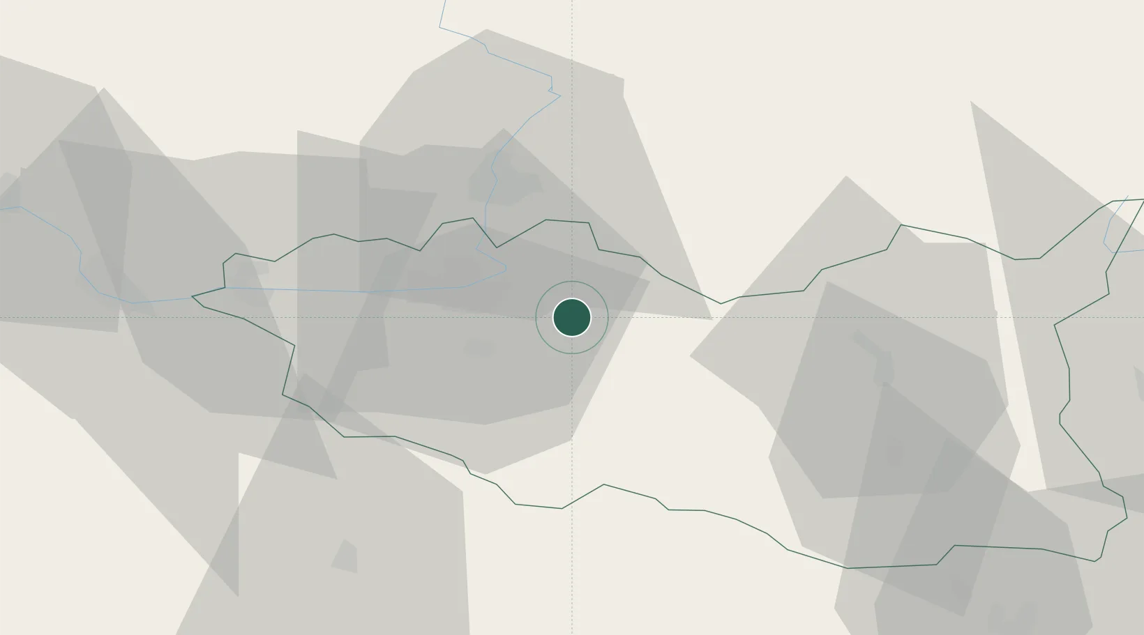
Hub Profile
Place type
Populated place
Region
Pardubický
Population
1,706
Time zone
Europe/Prague
Elevation
248 m
Location
Nearby Logistics Neighbours
Cities
- 1Dasice3 km
- 2Dolni Roven4 km
- 3Hostovice6 km
- 4Staré Hradiste14 km
- 5Borek16 km
Ports
- 1Szczecin392 km
- 2Police408 km
- 3Swinoujscie451 km
- 4Kolobrzeg470 km
- 5Wolgast474 km
Airports
- 1Pardubice Airport15 km
- 2Čáslav Air Base41 km
- 3Kostomlaty Airstrip77 km
- 4Náměšť Air Base94 km
- 5Prague–Kbely Air Base101 km
Trade Zones
DatabookThe Record of Consolidated Knowledge
Czechia beyond logistics?