UN/LOCODE hub · Czechia
CZCNL

Cerekvice nad Loucnou
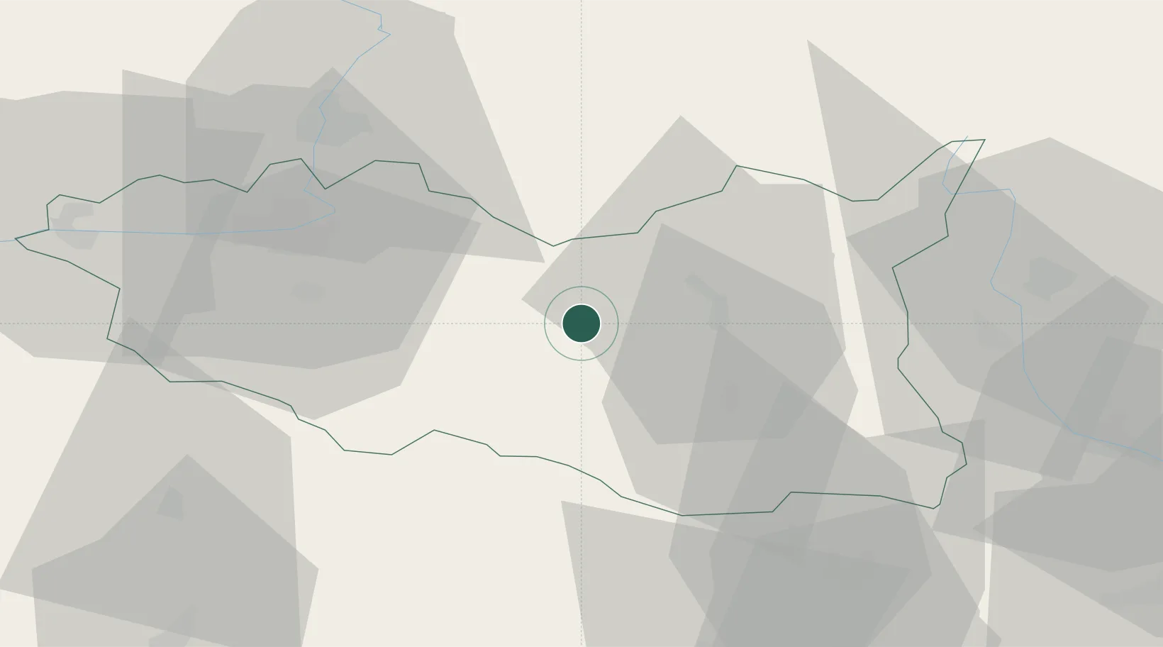
49.9000°, 16.2333°
817
Population
2
Transport functions

Transport Functions

Rail
Road
UN/LOCODE

Hub Profile

Place type
Populated place
GeoNames
Region
Pardubický
GeoNames
Population
817
GeoNames
Time zone
Europe/Prague
GeoNames
Elevation
294 m
GeoNames

Location

Location of CZCNL
Natural Earth 10m (public domain) · Pardubický · CZCNL · 49.90, 16.23GoogleOSMYandex

Nearby Logistics Neighbours

Cities
  1. 1Vysoké Myto7 km
  2. 2Chocen11 km
  3. 3Ceská Trebová16 km
  4. 4Skutec18 km
  5. 5Doudleby nad Orlicí22 km
Nearest neighbours — logibook spatial index (haversine) over the source coordinates
Ports
  1. 1Szczecin408 km
  2. 2Police424 km
  3. 3Swinoujscie467 km
  4. 4Monfalcone500 km
  5. 5Trieste508 km
Nearest neighbours — logibook spatial index (haversine) over the source coordinates
Airports
  1. 1Pardubice Airport38 km
  2. 2Čáslav Air Base61 km
  3. 3Náměšť Air Base82 km
  4. 4Brno-Tuřany Airport90 km
  5. 5Přerov Air Base99 km
Nearest neighbours — logibook spatial index (haversine) over the source coordinates
Trade Zones
  1. 1Pardubice City Industrial Zone33 km
  2. 2Světlá nad Sázavou Municipal Industrial Zone64 km
  3. 3Industrial Zone Kutna Hora68 km
  4. 4Kolín - Ovčáry Industrial Zone75 km
  5. 5Černovická Terasa Industrial Zone87 km
Nearest neighbours — logibook spatial index (haversine) over the source coordinates
DatabookThe Record of Consolidated Knowledge
Czechia beyond logistics?
Browse databook

All Sources

LocationsUN/LOCODE
UN/LOCODE — free
LocationsGeoNames
CC BY 4.0
Portsthe NGA World Port Index
Public domain (US gov)
AirportsOurAirports
Public domain
Trade Zonesthe World Bank SEZ database
CC BY 4.0
Trade ZonesOpen Zone Map
CC BY
← Czechia locations