UN/LOCODE hub · Czechia
CZKLU
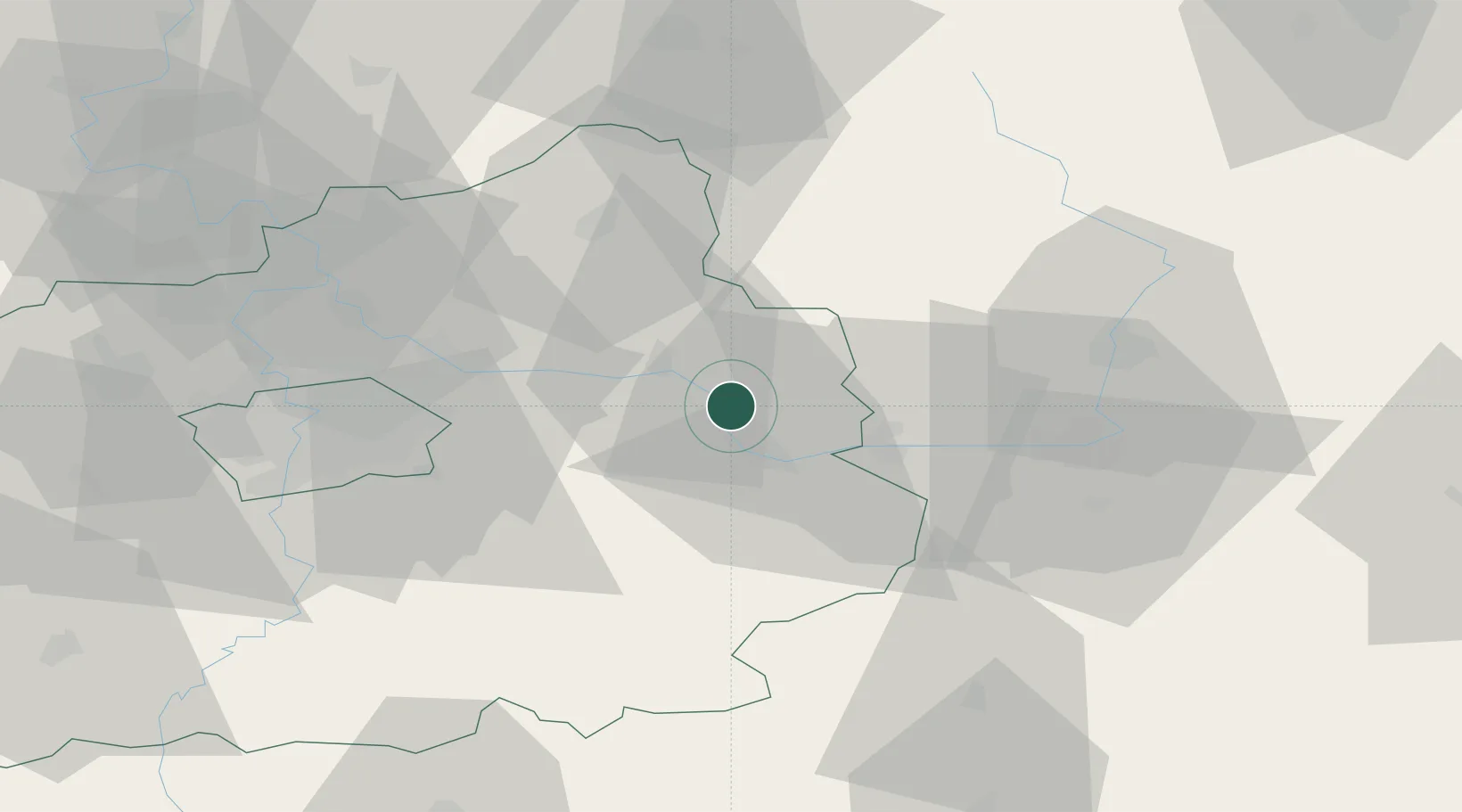
Libice nad Cidlinou
50.1167°, 15.1667°
1,310
Population
1
Transport functions
Transport Functions
Multimodal
Hub Profile
Place type
Populated place
Region
Central Bohemia
Population
1,310
Time zone
Europe/Prague
Elevation
192 m
Location
Nearby Logistics Neighbours
Cities
- 1Velký Osek2 km
- 2Veltruby4 km
- 3Kolín11 km
- 4Zverínek12 km
- 5Smirice13 km
Ports
- 1Szczecin369 km
- 2Police386 km
- 3Swinoujscie427 km
- 4Wolgast447 km
- 5Kolobrzeg457 km
Airports
- 1Kostomlaty Airstrip20 km
- 2Čáslav Air Base25 km
- 3Pardubice Airport42 km
- 4Prague–Kbely Air Base44 km
- 5Vodochody Airport56 km
Trade Zones
DatabookThe Record of Consolidated Knowledge
Czechia beyond logistics?