Transport Functions
Multimodal
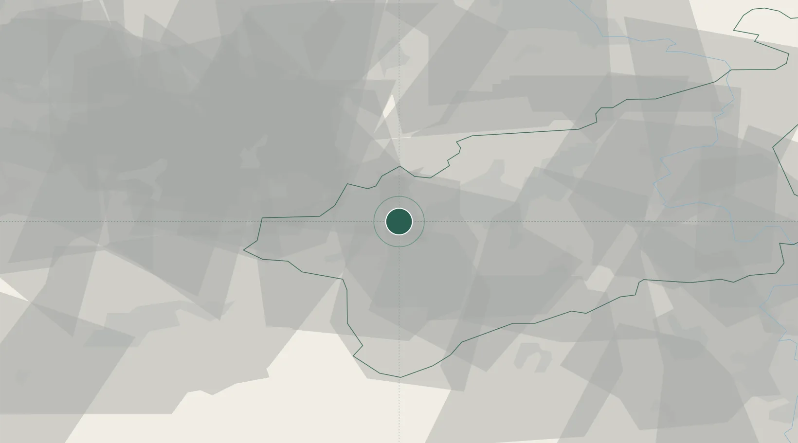
Hub Profile
Place type
Populated place
Region
Ústecký kraj
Population
3,677
Time zone
Europe/Prague
Elevation
604 m
Location
Nearby Logistics Neighbours
Cities
- 1Prunérov10 km
- 2Kadan13 km
- 3Deutschneudorf14 km
- 4Havran17 km
- 5Deutscheinsiedel19 km
Ports
- 1Szczecin336 km
- 2Police353 km
- 3Swinoujscie387 km
- 4Wolgast398 km
- 5Wismar401 km
Airports
- 1Karlovy Vary Airport45 km
- 2Václav Havel Airport Prague76 km
- 3Dresden Airport78 km
- 4Vodochody Airport79 km
- 5Leipzig–Altenburg Airport82 km
Trade Zones
DatabookThe Record of Consolidated Knowledge
Czechia beyond logistics?