Transport Functions
Rail
Road
Hub Profile
Place type
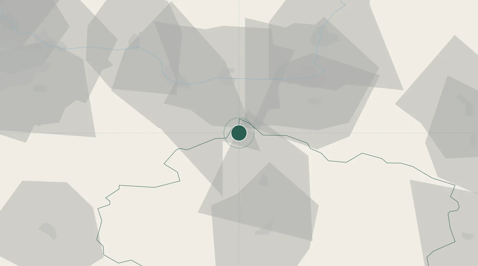
Populated place
Region
Vysočina
Population
2,644
Time zone
Europe/Prague
Elevation
379 m
Location
Nearby Logistics Neighbours
Cities
- 1Zleby9 km
- 2Korotice17 km
- 3Chotebor18 km
- 4Ledec nad Sázavou19 km
- 5Horusice21 km
Ports
- 1Szczecin405 km
- 2Police422 km
- 3Swinoujscie464 km
- 4Monfalcone471 km
- 5Trieste481 km
Airports
- 1Čáslav Air Base16 km
- 2Pardubice Airport29 km
- 3Kostomlaty Airstrip59 km
- 4Prague–Kbely Air Base75 km
- 5Náměšť Air Base86 km
Trade Zones
DatabookThe Record of Consolidated Knowledge
Czechia beyond logistics?