Transport Functions
Multimodal
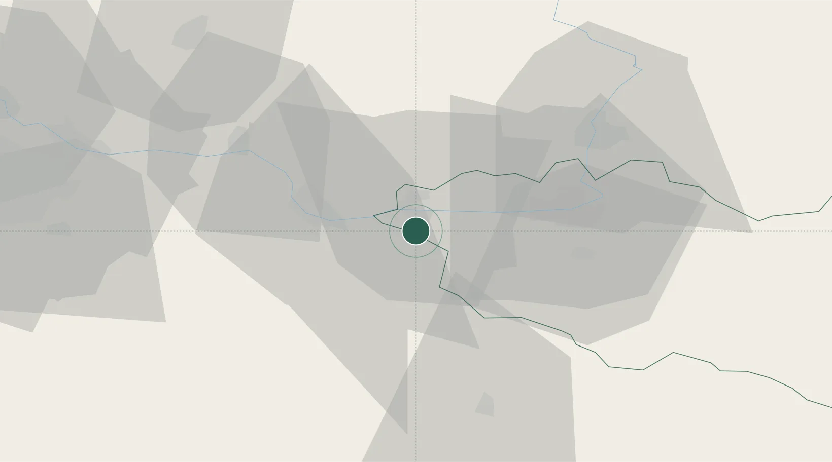
Hub Profile
Place type
Populated place
Region
Central Bohemia
Population
193
Time zone
Europe/Prague
Elevation
226 m
Location
Nearby Logistics Neighbours
Cities
- 1Trnavka4 km
- 2Kladruby Nad Labem7 km
- 3Týnec nad Labem7 km
- 4Prelouc10 km
- 5Zleby12 km
Ports
- 1Szczecin385 km
- 2Police401 km
- 3Swinoujscie443 km
- 4Wolgast464 km
- 5Kolobrzeg469 km
Airports
- 1Čáslav Air Base8 km
- 2Pardubice Airport22 km
- 3Kostomlaty Airstrip43 km
- 4Prague–Kbely Air Base65 km
- 5Vodochody Airport78 km
Trade Zones
DatabookThe Record of Consolidated Knowledge
Czechia beyond logistics?