Transport Functions
Multimodal
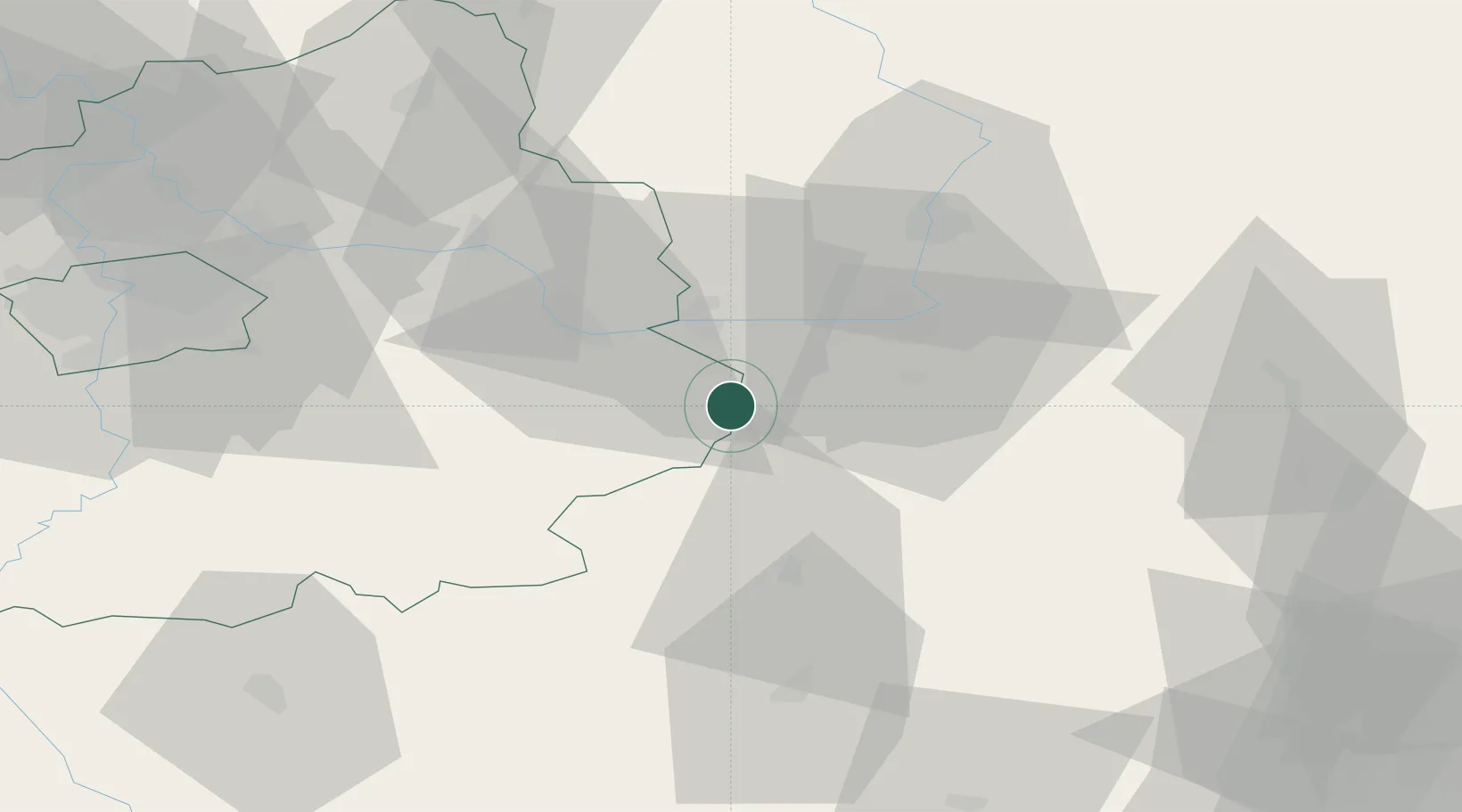
Hub Profile
Place type
Populated place
Region
Central Bohemia
Population
1,267
Time zone
Europe/Prague
Elevation
257 m
Location
Nearby Logistics Neighbours
Cities
- 1Golcuv Jeníkov9 km
- 2Horusice12 km
- 3Trnavka15 km
- 4Korotice16 km
- 5Prelouc16 km
Ports
- 1Szczecin396 km
- 2Police413 km
- 3Swinoujscie454 km
- 4Monfalcone480 km
- 5Trieste490 km
Airports
- 1Čáslav Air Base9 km
- 2Pardubice Airport22 km
- 3Kostomlaty Airstrip53 km
- 4Prague–Kbely Air Base72 km
- 5Vodochody Airport85 km
Trade Zones
DatabookThe Record of Consolidated Knowledge
Czechia beyond logistics?