UN/LOCODE hub · Czechia
CZLNS
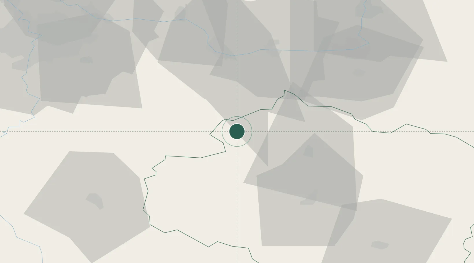
Ledec nad Sázavou
49.7000°, 15.2833°
6,048
Population
2
Transport functions
Transport Functions
Rail
Road
Hub Profile
Place type
Populated place
Region
Vysočina
Population
6,048
Time zone
Europe/Prague
Elevation
358 m
Location
Nearby Logistics Neighbours
Cities
- 1Zbraslavice15 km
- 2Humpolec18 km
- 3Korotice19 km
- 4Trhovy Stepanov19 km
- 5Golcuv Jeníkov19 km
Ports
- 1Szczecin416 km
- 2Police433 km
- 3Monfalcone454 km
- 4Trieste465 km
- 5Nogaro466 km
Airports
- 1Čáslav Air Base28 km
- 2Pardubice Airport48 km
- 3Kostomlaty Airstrip62 km
- 4Prague–Kbely Air Base71 km
- 5Náměšť Air Base85 km
Trade Zones
DatabookThe Record of Consolidated Knowledge
Czechia beyond logistics?