UN/LOCODE hub · Czechia
CZORO

Korotice

49.8667°, 15.2667°
1
Transport functions

Transport Functions

Multimodal
UN/LOCODE

Hub Profile

Place type
Populated place
GeoNames
Region
Central Bohemia
GeoNames
Time zone
Europe/Prague
GeoNames
Elevation
384 m
GeoNames

Location

Location of CZORO
Natural Earth 10m (public domain) · Central Bohemia · CZORO · 49.87, 15.27GoogleOSMYandex

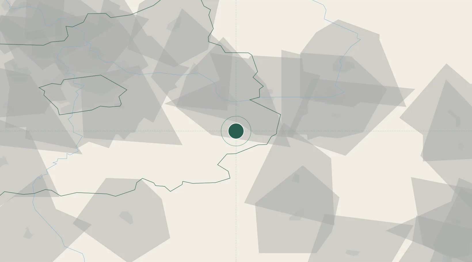
Nearby Logistics Neighbours

Cities
  1. 1Zbraslavice8 km
  2. 2Kralice8 km
  3. 3Kutná Hora9 km
  4. 4Uhlirske Janovice15 km
  5. 5Zleby16 km
Nearest neighbours — logibook spatial index (haversine) over the source coordinates
Ports
  1. 1Szczecin398 km
  2. 2Police414 km
  3. 3Swinoujscie456 km
  4. 4Monfalcone472 km
  5. 5Trieste482 km
Nearest neighbours — logibook spatial index (haversine) over the source coordinates
Airports
  1. 1Čáslav Air Base12 km
  2. 2Pardubice Airport38 km
  3. 3Kostomlaty Airstrip45 km
  4. 4Prague–Kbely Air Base59 km
  5. 5Vodochody Airport73 km
Nearest neighbours — logibook spatial index (haversine) over the source coordinates
Trade Zones
  1. 1Industrial Zone Kutna Hora8 km
  2. 2Kolín - Ovčáry Industrial Zone23 km
  3. 3Světlá nad Sázavou Municipal Industrial Zone25 km
  4. 4Pardubice City Industrial Zone43 km
  5. 5Kamienna Góra115 km
Nearest neighbours — logibook spatial index (haversine) over the source coordinates
DatabookThe Record of Consolidated Knowledge
Czechia beyond logistics?
Browse databook

All Sources

LocationsUN/LOCODE
UN/LOCODE — free
Portsthe NGA World Port Index
Public domain (US gov)
AirportsOurAirports
Public domain
Trade Zonesthe World Bank SEZ database
CC BY 4.0
Trade ZonesOpen Zone Map
CC BY
← Czechia locations