Transport Functions
Rail
Road
Hub Profile
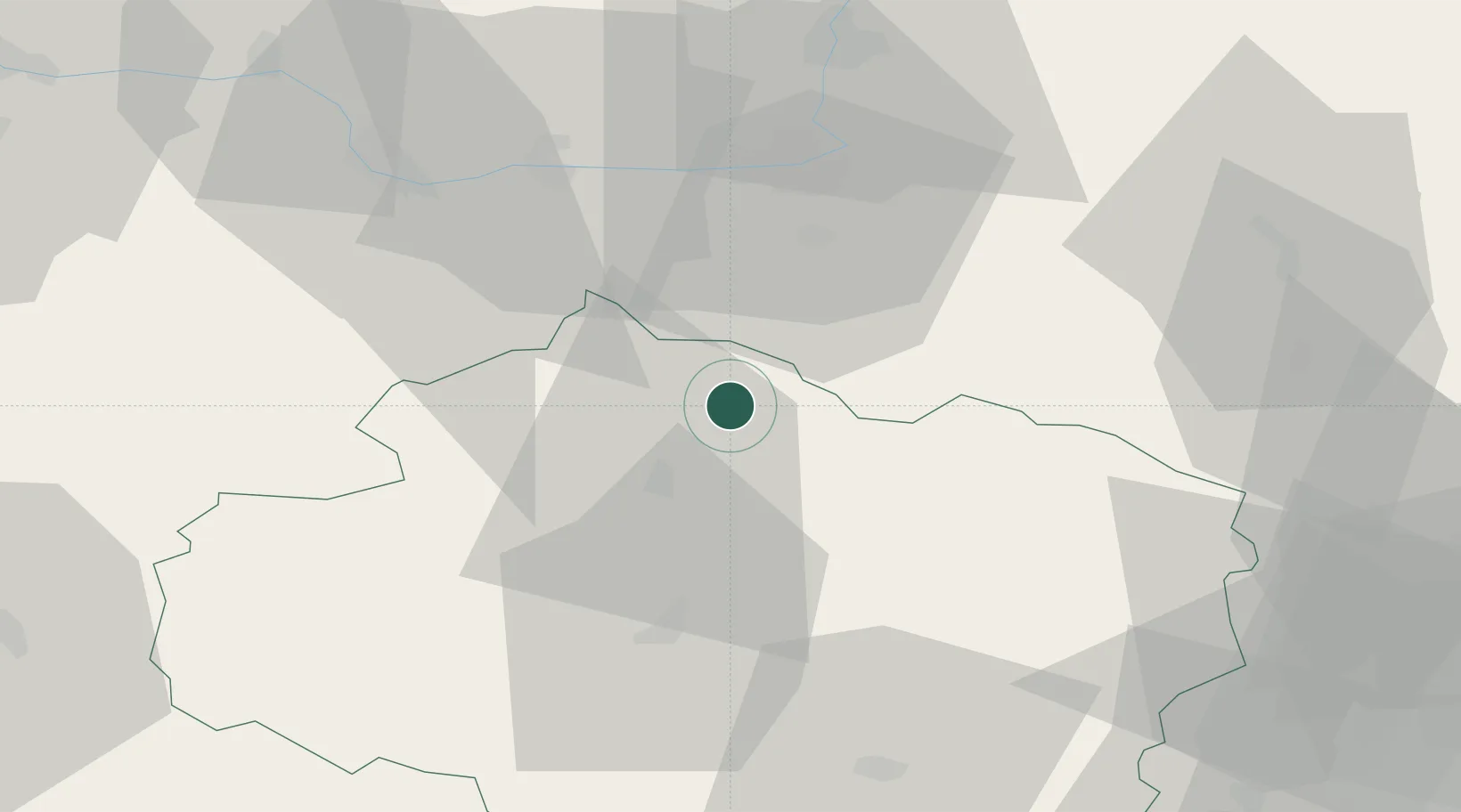
Place type
Populated place
Region
Vysočina
Population
9,849
Time zone
Europe/Prague
Elevation
520 m
Location
Nearby Logistics Neighbours
Cities
- 1Krucemburk13 km
- 2Havlíckuv Brod13 km
- 3Golcuv Jeníkov18 km
- 4Zleby25 km
- 5Zdár nad Sázavou25 km
Ports
- 1Szczecin419 km
- 2Police435 km
- 3Monfalcone466 km
- 4Trieste475 km
- 5Swinoujscie477 km
Airports
- 1Čáslav Air Base33 km
- 2Pardubice Airport33 km
- 3Náměšť Air Base69 km
- 4Kostomlaty Airstrip77 km
- 5Prague–Kbely Air Base93 km
Trade Zones
DatabookThe Record of Consolidated Knowledge
Czechia beyond logistics?