Transport Functions
Port
Rail
Road
Multimodal
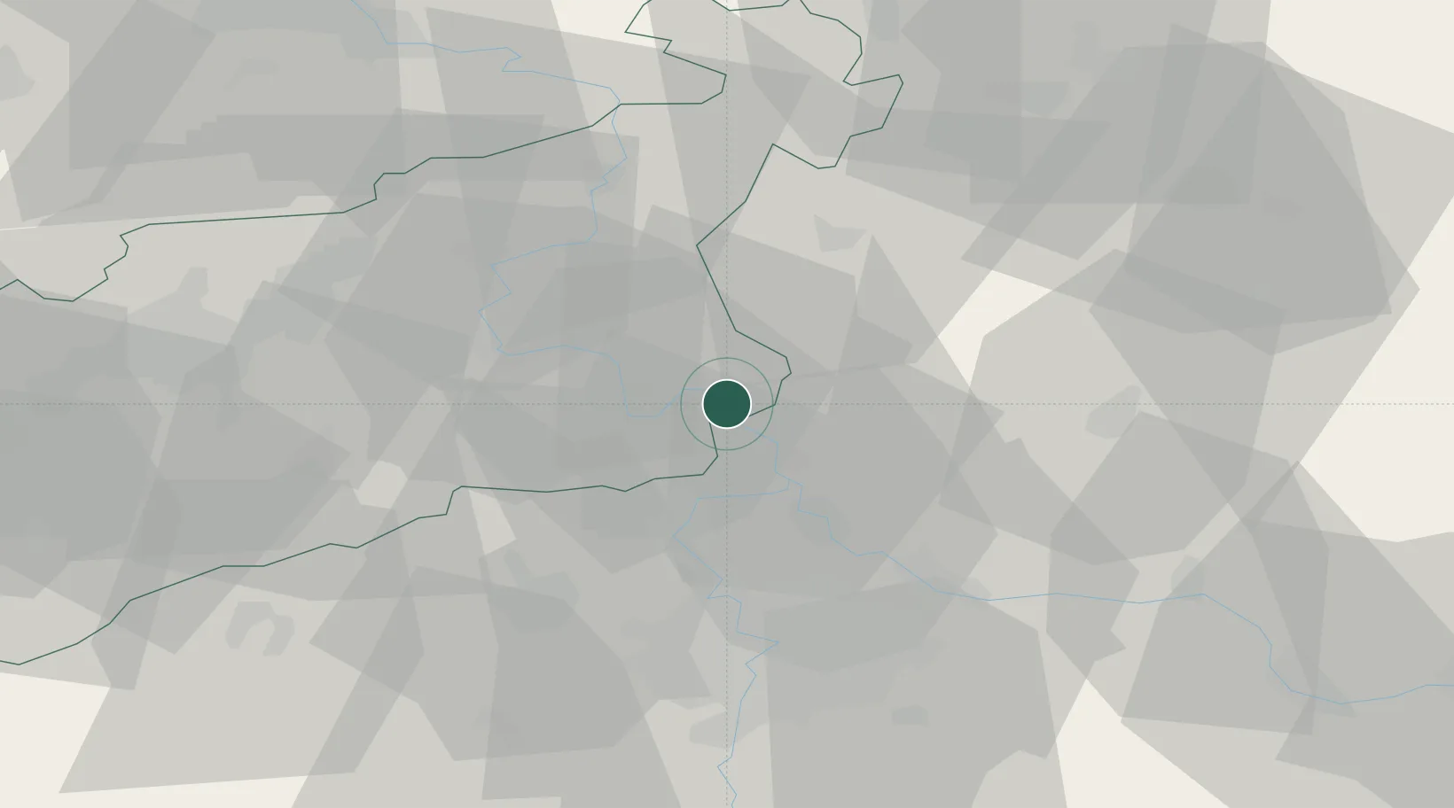
Hub Profile
Place type
Populated place
Region
Ústecký kraj
Population
9,165
Time zone
Europe/Prague
Elevation
160 m
Location
Nearby Logistics Neighbours
Cities
- 1Horni Pocaply4 km
- 2Dolní Berkovice8 km
- 3Melník11 km
- 4Melnik11 km
- 5Straskov14 km
Ports
- 1Szczecin330 km
- 2Police347 km
- 3Swinoujscie386 km
- 4Wolgast402 km
- 5Kolobrzeg426 km
Airports
- 1Vodochody Airport26 km
- 2Prague–Kbely Air Base38 km
- 3Václav Havel Airport Prague40 km
- 4Kostomlaty Airstrip47 km
- 5Dresden Airport88 km
Trade Zones
DatabookThe Record of Consolidated Knowledge
Czechia beyond logistics?