Transport Functions
Port
Rail
Road
Hub Profile
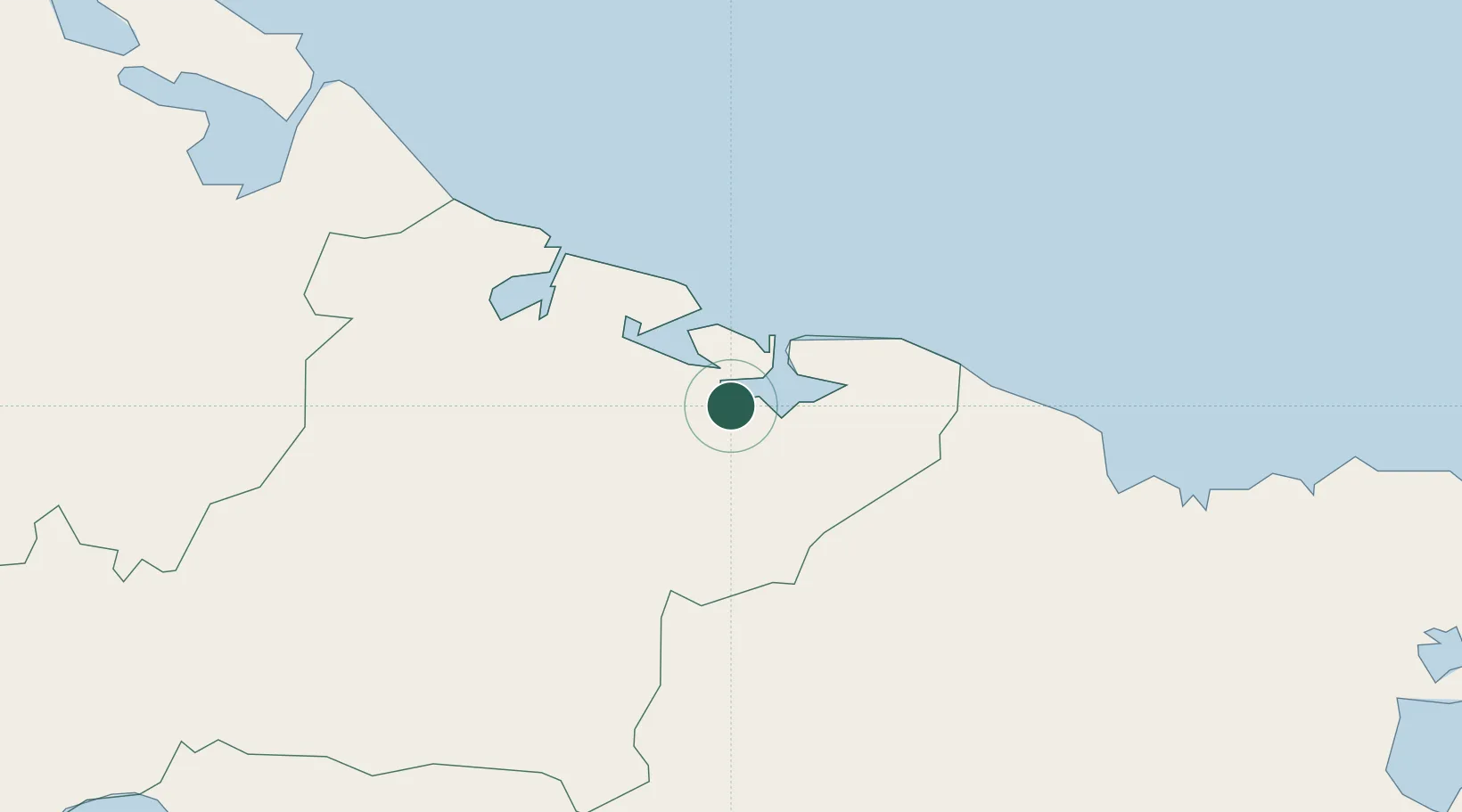
Place type
Provincial seat
Region
Las Tunas Province
Population
76,838
Time zone
America/Havana
Elevation
26 m
Location
Nearby Logistics Neighbours
Cities
- 1Puerto Manatí31 km
- 2Las Tunas46 km
- 3Gibara50 km
- 4Puerto da Vita67 km
- 5Puerto de Pastelillo75 km
Ports
- 1Manati29 km
- 2Vita67 km
- 3Nuevitas Bay79 km
- 4Banes97 km
- 5Antilla99 km
Airports
Trade Zones
- 1Cazoumar Free Zone335 km
- 2Montego Bay Free Zone335 km
- 358 HWT Tech Park356 km
- 4Caymanas Special Economic Zone357 km
- 5Spanish Town Free Zone358 km
DatabookThe Record of Consolidated Knowledge
Cuba beyond logistics?