Transport Functions
Port
Rail
Road
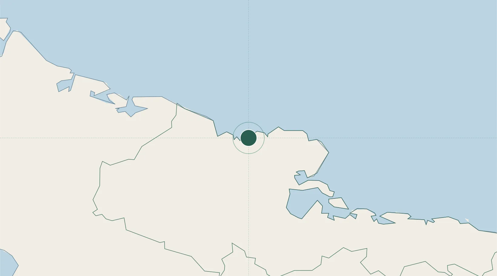
Location
Nearby Logistics Neighbours
Cities
- 1Gibara17 km
- 2Banes29 km
- 3Pilón30 km
- 4Antilla30 km
- 5Puerto Padre67 km
Airports
Trade Zones
- 158 HWT Tech Park353 km
- 2Kingston Free Zone356 km
- 3Caymanas Special Economic Zone356 km
- 4Kingston Wharves Terminal Special Economic Zone356 km
- 5Cazoumar Free Zone357 km
DatabookThe Record of Consolidated Knowledge
Cuba beyond logistics?