UN/LOCODE hub · Cuba
CUGIB

Gibara

21.1000°, -76.1333°
27,603
Population
4
Transport functions

Transport Functions

Port
Rail
Road
Multimodal
UN/LOCODE

Hub Profile

Place type
Provincial seat
GeoNames
Region
Holguín Province
GeoNames
Population
27,603
GeoNames
Time zone
America/Havana
GeoNames
Elevation
23 m
GeoNames

Location

Location of CUGIB
Natural Earth 10m (public domain) · Holguín Province · CUGIB · 21.10, -76.13GoogleOSMYandex

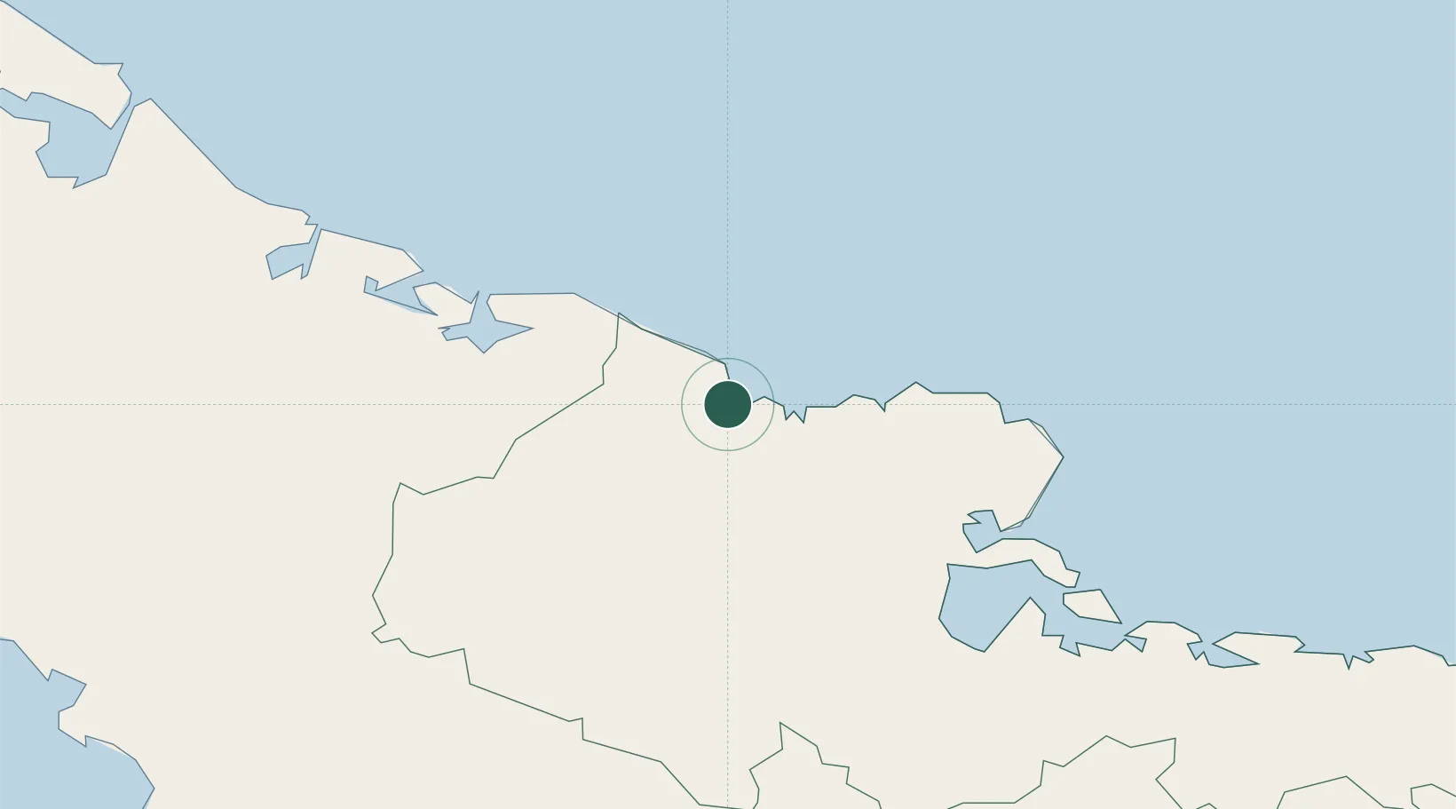
Nearby Logistics Neighbours

Cities
  1. 1Puerto da Vita17 km
  2. 2Antilla42 km
  3. 3Pilón43 km
  4. 4Banes46 km
  5. 5Puerto Padre50 km
Nearest neighbours — logibook spatial index (haversine) over the source coordinates
Ports
  1. 1Vita17 km
  2. 2Puerto Padre46 km
  3. 3Banes48 km
  4. 4Antilla51 km
  5. 5Preston62 km
Nearest neighbours — logibook spatial index (haversine) over the source coordinates
Airports
  1. 1Frank Pais International Airport40 km
  2. 2(Duplicate}Holguín Air Base40 km
  3. 3Hermanos Ameijeiras Airport84 km
  4. 4Carlos Manuel de Cespedes Airport93 km
  5. 5Duncan Town Airport127 km
Nearest neighbours — logibook spatial index (haversine) over the source coordinates
Trade Zones
  1. 1Cazoumar Free Zone349 km
  2. 2Montego Bay Free Zone349 km
  3. 358 HWT Tech Park351 km
  4. 4Kingston Free Zone354 km
  5. 5Caymanas Special Economic Zone354 km
Nearest neighbours — logibook spatial index (haversine) over the source coordinates
DatabookThe Record of Consolidated Knowledge
Cuba beyond logistics?
Browse databook

All Sources

LocationsUN/LOCODE
UN/LOCODE — free
LocationsGeoNames
CC BY 4.0
Portsthe NGA World Port Index
Public domain (US gov)
AirportsOurAirports
Public domain
Trade Zonesthe World Bank SEZ database
CC BY 4.0
Trade ZonesOpen Zone Map
CC BY
← Cuba locations