Transport Functions
Port
Rail
Road
Hub Profile
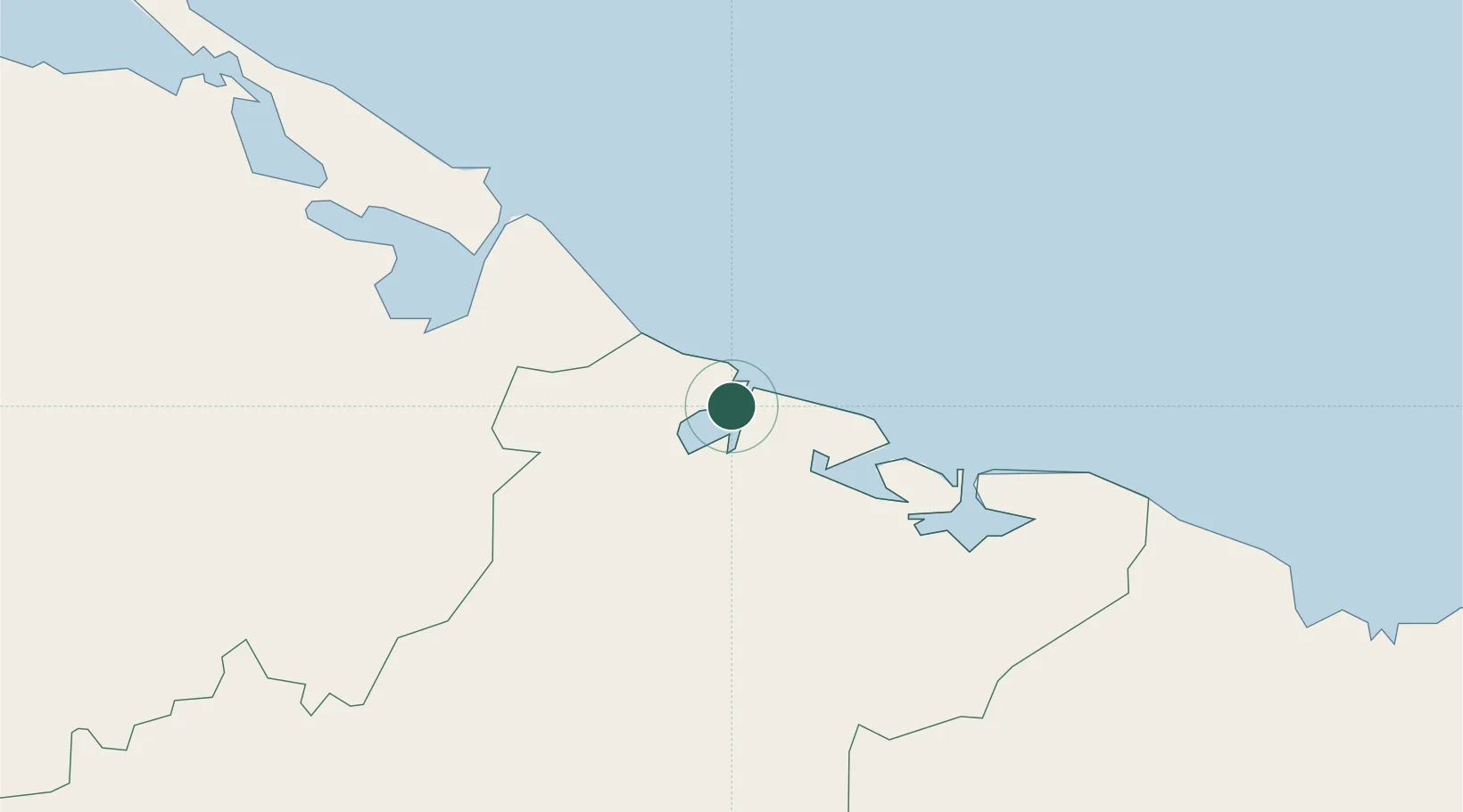
Place type
Populated place
Region
Las Tunas Province
Time zone
America/Havana
Elevation
5 m
Location
Nearby Logistics Neighbours
Cities
- 1Puerto Padre31 km
- 2Puerto de Pastelillo45 km
- 3Bufadero47 km
- 4Las Tunas48 km
- 5Puerto Tarafa49 km
Ports
- 1Puerto Padre32 km
- 2Nuevitas Bay49 km
- 3Vita95 km
- 4Guayabal110 km
- 5Manzanillo117 km
Airports
Trade Zones
- 1Cazoumar Free Zone343 km
- 2Montego Bay Free Zone343 km
- 358 HWT Tech Park374 km
- 4Spanish Town Free Zone375 km
- 5Caymanas Special Economic Zone375 km
DatabookThe Record of Consolidated Knowledge
Cuba beyond logistics?