Medium airport · Cuba

Hermanos Ameijeiras AirportMUVT
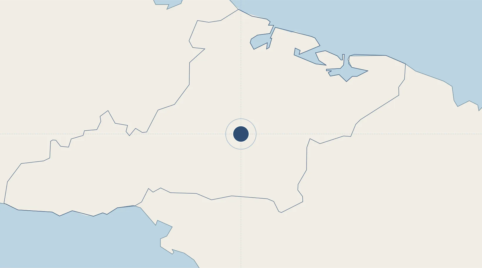
20.9876°, -76.9358°
5,971 ft
Longest runway
1
Runways
328 ft
Elevation

Runway & Layout

Hermanos Ameijeiras Airport runway & taxiway layout
Runway & taxiway layout — OpenStreetMap (ODbL) / OurAirports

Radio Frequencies

TWR
122.5 MHz
TUNAS TWR
A/G
340.7 MHz
TUNAS RDO
OurAirports

Navaids

UVT NDB Tunas 296 kHz
OurAirports

Runways · 1

RunwayDimensions SurfaceTrue headingLit
05/23 5,971 × 148ft Asphalt 045°
OurAirports

Airport Specifications

IATA code
VTU
OurAirports
ICAO code
MUVT
OurAirports
Airport class
Medium airport
OurAirports
Scheduled service
Yes
OurAirports
Runway surface
Asphalt
OurAirports
Served city
Las Tunas
OurAirports

Location

Location of MUVT
Natural Earth 10m (public domain) · Las Tunas · MUVT · 20.99, -76.94GoogleOSMYandex

Nearby Logistics Neighbours

Airports
  1. 1(Duplicate}Holguín Air Base68 km
  2. 2Frank Pais International Airport68 km
  3. 3Carlos Manuel de Cespedes Airport73 km
  4. 4Sierra Maestra International Airport79 km
  5. 5Ignacio Agramonte International Airport106 km
Nearest neighbours — logibook spatial index (haversine) over the source coordinates
Cities
  1. 1Las Tunas4 km
  2. 2Puerto Padre42 km
  3. 3Puerto Manatí44 km
  4. 4Puerto de Pastelillo69 km
  5. 5Nuevitas71 km
Nearest neighbours — logibook spatial index (haversine) over the source coordinates
Ports
  1. 1Manati44 km
  2. 2Puerto Padre53 km
  3. 3Nuevitas Bay71 km
  4. 4Manzanillo73 km
  5. 5Guayabal78 km
Nearest neighbours — logibook spatial index (haversine) over the source coordinates
Trade Zones
  1. 1Cazoumar Free Zone300 km
  2. 2Montego Bay Free Zone300 km
  3. 3Spanish Town Free Zone332 km
  4. 458 HWT Tech Park332 km
  5. 5Caymanas Special Economic Zone333 km
Nearest neighbours — logibook spatial index (haversine) over the source coordinates
DatabookThe Record of Consolidated Knowledge
Cuba beyond logistics?
Browse databook

All Sources

AirportsOurAirports
Public domain
Portsthe NGA World Port Index
Public domain (US gov)
LocationsUN/LOCODE
UN/LOCODE — free
Trade Zonesthe World Bank SEZ database
CC BY 4.0
Trade ZonesOpen Zone Map
CC BY
InfrastructureOpenStreetMap
ODbL 1.0
← Cuba airports