Transport Functions
Port
Road
Hub Profile
Place type
Populated place
Region
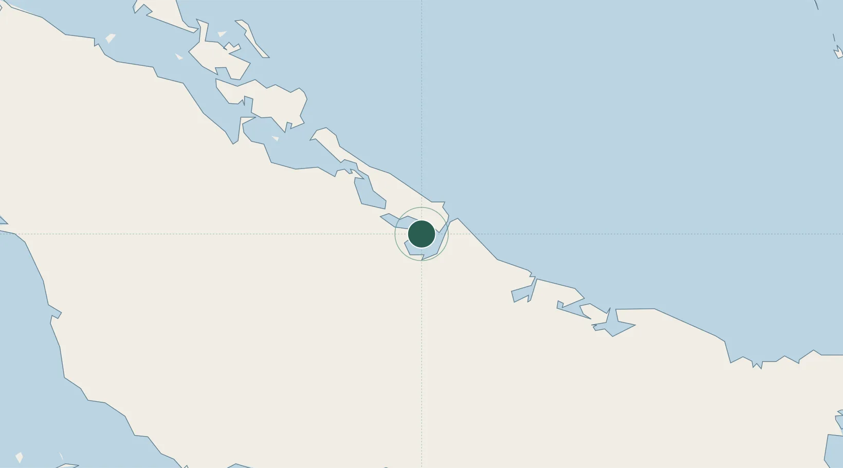
Camagüey
Time zone
America/Havana
Elevation
12 m
Location
Nearby Logistics Neighbours
Cities
- 1Bufadero3 km
- 2Puerto Tarafa4 km
- 3Nuevitas5 km
- 4Puerto Manatí45 km
- 5Las Tunas72 km
Ports
- 1Nuevitas Bay5 km
- 2Manati46 km
- 3Puerto Padre77 km
- 4Guayabal103 km
- 5Santa Cruz del Sur124 km
Airports
Trade Zones
- 1Cazoumar Free Zone351 km
- 2Montego Bay Free Zone352 km
- 3Spanish Town Free Zone395 km
- 4Caymanas Special Economic Zone397 km
- 558 HWT Tech Park397 km
DatabookThe Record of Consolidated Knowledge
Cuba beyond logistics?