Runway & Layout

Airport Specifications
Airport class
Medium airport
Scheduled service
No
Served city
Holguin
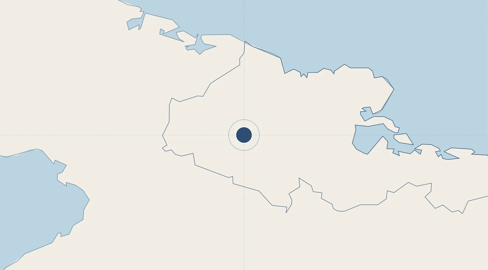
Location
Nearby Logistics Neighbours
Airports
Cities
- 1Gibara40 km
- 2Antilla49 km
- 3Puerto da Vita49 km
- 4Pilón53 km
- 5Puerto Padre55 km
Ports
- 1Vita51 km
- 2Puerto Padre60 km
- 3Antilla61 km
- 4Banes64 km
- 5Preston70 km
Trade Zones
- 1Cazoumar Free Zone309 km
- 2Montego Bay Free Zone309 km
- 358 HWT Tech Park313 km
- 4Caymanas Special Economic Zone316 km
- 5Kingston Free Zone316 km
DatabookThe Record of Consolidated Knowledge
Cuba beyond logistics?