Large airport · Cuba

Frank Pais International AirportMUHG
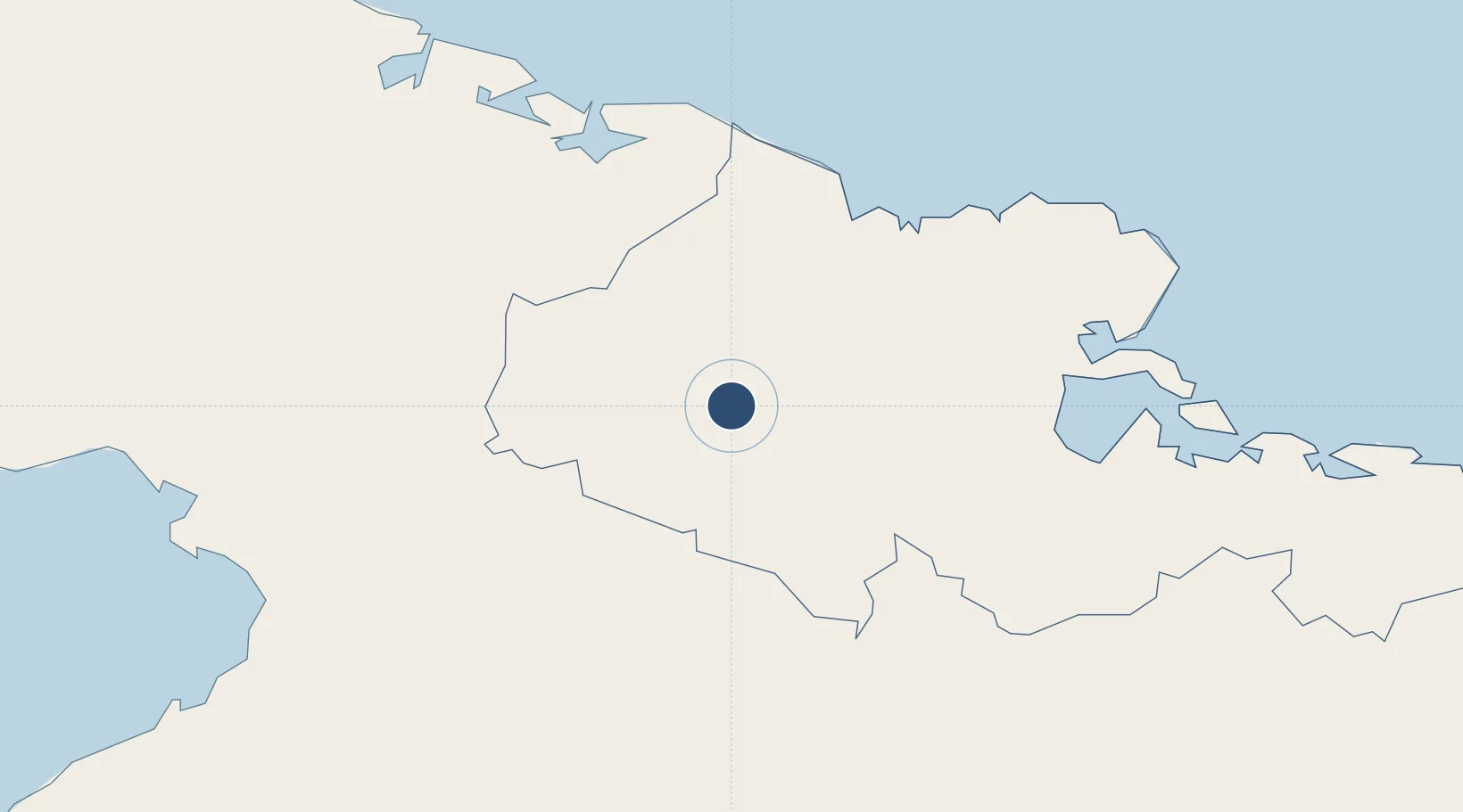
20.7851°, -76.3155°
10,624 ft
Longest runway
1
Runways
361 ft
Elevation

Runway & Layout

Frank Pais International Airport runway & taxiway layout
Runway & taxiway layout — OpenStreetMap (ODbL) / OurAirports

Radio Frequencies

TWR
118 MHz
HOLGUIN TWR
APP
119.1 MHz
HOLGUIN APP
A/G
126.9 MHz
HOLGUIN RDO
A/G
1132.1 MHz
HOLGUIN RDO
OurAirports

Navaids

UHG VOR-DME Holguin 116.80 MHz
UHG NDB Holguin 353 kHz
OurAirports

Runways · 1

RunwayDimensions SurfaceTrue headingLit
05/23 10,624 × 148ft Asphalt 046°
OurAirports

Airport Specifications

IATA code
HOG
OurAirports
ICAO code
MUHG
OurAirports
Airport class
Large airport
OurAirports
Scheduled service
Yes
OurAirports
Runway surface
Asphalt
OurAirports
Served city
Holguin
OurAirports

Location

Location of MUHG
Natural Earth 10m (public domain) · Holguín · MUHG · 20.79, -76.32GoogleOSMYandex

Nearby Logistics Neighbours

Airports
  1. 1(Duplicate}Holguín Air Base0 km
  2. 2Carlos Manuel de Cespedes Airport54 km
  3. 3Hermanos Ameijeiras Airport68 km
  4. 4Sierra Maestra International Airport98 km
  5. 5Antonio Maceo International Airport103 km
Nearest neighbours — logibook spatial index (haversine) over the source coordinates
Cities
  1. 1Gibara40 km
  2. 2Antilla49 km
  3. 3Puerto da Vita49 km
  4. 4Pilón52 km
  5. 5Puerto Padre55 km
Nearest neighbours — logibook spatial index (haversine) over the source coordinates
Ports
  1. 1Vita50 km
  2. 2Puerto Padre60 km
  3. 3Antilla61 km
  4. 4Banes64 km
  5. 5Preston69 km
Nearest neighbours — logibook spatial index (haversine) over the source coordinates
Trade Zones
  1. 1Cazoumar Free Zone309 km
  2. 2Montego Bay Free Zone309 km
  3. 358 HWT Tech Park313 km
  4. 4Caymanas Special Economic Zone316 km
  5. 5Kingston Free Zone316 km
Nearest neighbours — logibook spatial index (haversine) over the source coordinates
DatabookThe Record of Consolidated Knowledge
Cuba beyond logistics?
Browse databook

All Sources

AirportsOurAirports
Public domain
Portsthe NGA World Port Index
Public domain (US gov)
LocationsUN/LOCODE
UN/LOCODE — free
Trade Zonesthe World Bank SEZ database
CC BY 4.0
Trade ZonesOpen Zone Map
CC BY
InfrastructureOpenStreetMap
ODbL 1.0
← Cuba airports