Medium airport · Cuba

Sierra Maestra International AirportMUMZ
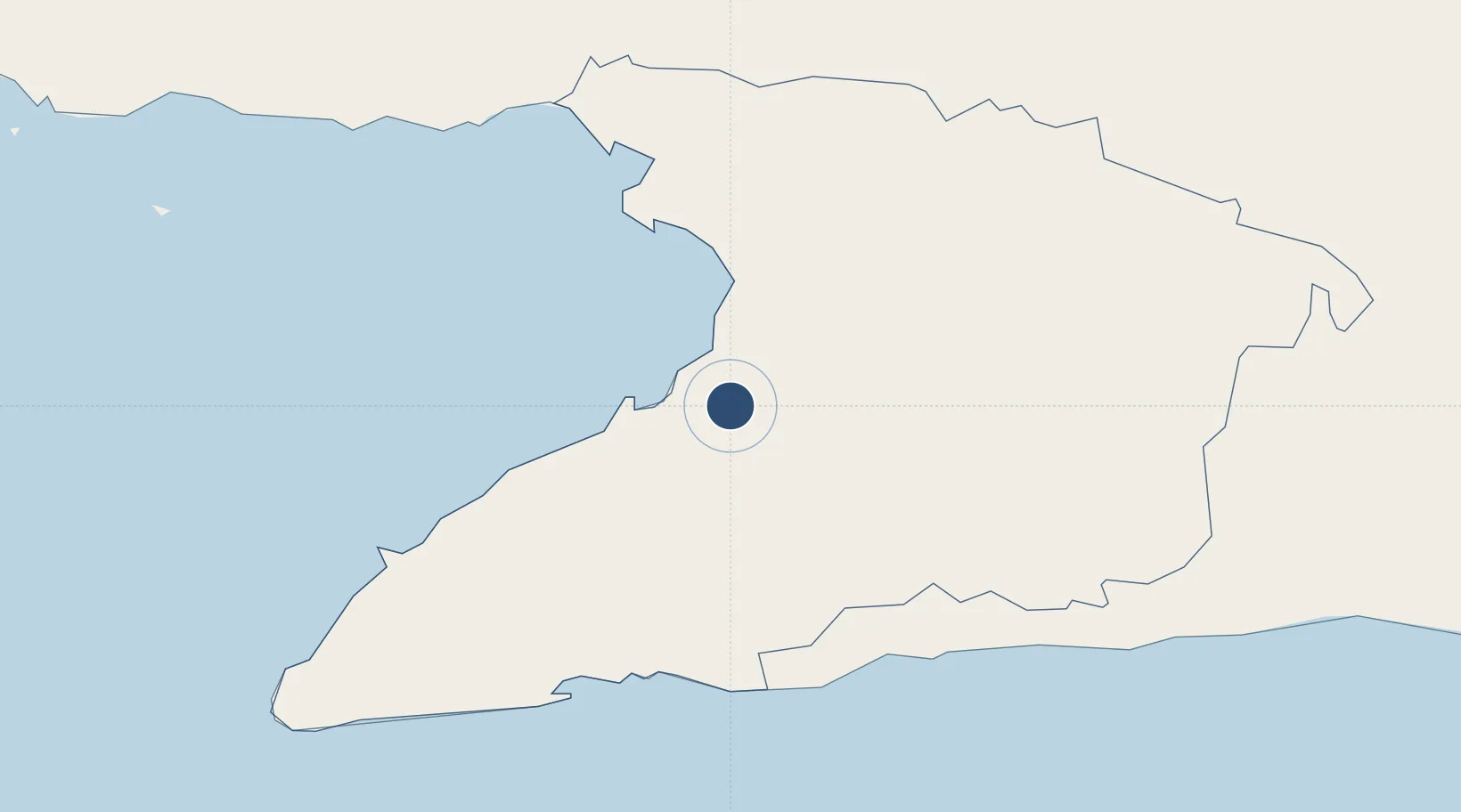
20.2886°, -77.0875°
7,875 ft
Longest runway
1
Runways
112 ft
Elevation

Runway & Layout

Sierra Maestra International Airport runway & taxiway layout
Runway & taxiway layout — OpenStreetMap (ODbL) / OurAirports

Radio Frequencies

TWR
118.3 MHz
MANZANILLO TWR
A/G
340.7 MHz
MANZANILLO RDO
OurAirports

Navaids

UMZ VOR-DME Manzanillo 116.00 MHz
OurAirports

Runways · 1

RunwayDimensions SurfaceTrue headingLit
08/26 7,875 × 148ft Asphalt 074°
OurAirports

Airport Specifications

IATA code
MZO
OurAirports
ICAO code
MUMZ
OurAirports
Airport class
Medium airport
OurAirports
Scheduled service
Yes
OurAirports
Runway surface
Asphalt
OurAirports
Served city
Manzanillo
OurAirports

Location

Location of MUMZ
Natural Earth 10m (public domain) · Granma · MUMZ · 20.29, -77.09GoogleOSMYandex

Nearby Logistics Neighbours

Airports
  1. 1Carlos Manuel de Cespedes Airport50 km
  2. 2Hermanos Ameijeiras Airport79 km
  3. 3(Duplicate}Holguín Air Base97 km
  4. 4Frank Pais International Airport98 km
  5. 5Antonio Maceo International Airport135 km
Nearest neighbours — logibook spatial index (haversine) over the source coordinates
Cities
  1. 1Ceiba Hueca27 km
  2. 2Media Luna39 km
  3. 3Niquero58 km
  4. 4Las Tunas75 km
  5. 5Puerto Padre113 km
Nearest neighbours — logibook spatial index (haversine) over the source coordinates
Ports
  1. 1Manzanillo8 km
  2. 2Ceiba Hueca25 km
  3. 3Media Luna39 km
  4. 4Guayabal72 km
  5. 5Santa Cruz del Sur104 km
Nearest neighbours — logibook spatial index (haversine) over the source coordinates
Trade Zones
  1. 1Cazoumar Free Zone222 km
  2. 2Montego Bay Free Zone222 km
  3. 3Spanish Town Free Zone255 km
  4. 4Caymanas Special Economic Zone256 km
  5. 558 HWT Tech Park256 km
Nearest neighbours — logibook spatial index (haversine) over the source coordinates
DatabookThe Record of Consolidated Knowledge
Cuba beyond logistics?
Browse databook

All Sources

AirportsOurAirports
Public domain
Portsthe NGA World Port Index
Public domain (US gov)
LocationsUN/LOCODE
UN/LOCODE — free
Trade Zonesthe World Bank SEZ database
CC BY 4.0
Trade ZonesOpen Zone Map
CC BY
InfrastructureOpenStreetMap
ODbL 1.0
← Cuba airports