Medium airport · Cuba

Carlos Manuel de Cespedes AirportMUBY
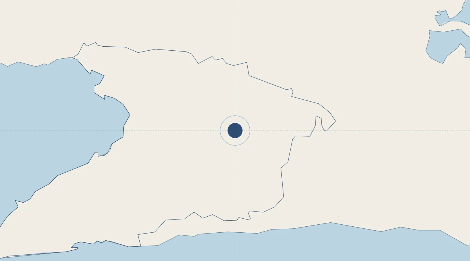
20.3964°, -76.6214°
6,887 ft
Longest runway
1
Runways
203 ft
Elevation

Runway & Layout

Carlos Manuel de Cespedes Airport runway & taxiway layout
Runway & taxiway layout — OpenStreetMap (ODbL) / OurAirports

Radio Frequencies

TWR
123.6 MHz
BAYAMO TWR
A/G
340.7 MHz
BAYAMO RDO
OurAirports

Navaids

UBY NDB Bayamo 268 kHz
OurAirports

Runways · 1

RunwayDimensions SurfaceTrue headingLit
07/25 6,887 × 148ft Asphalt 068°
OurAirports

Airport Specifications

IATA code
BYM
OurAirports
ICAO code
MUBY
OurAirports
Airport class
Medium airport
OurAirports
Scheduled service
Yes
OurAirports
Runway surface
Asphalt
OurAirports
Served city
Bayamo
OurAirports

Location

Location of MUBY
Natural Earth 10m (public domain) · Granma · MUBY · 20.40, -76.62GoogleOSMYandex

Nearby Logistics Neighbours

Airports
  1. 1Sierra Maestra International Airport50 km
  2. 2(Duplicate}Holguín Air Base54 km
  3. 3Frank Pais International Airport54 km
  4. 4Hermanos Ameijeiras Airport73 km
  5. 5Antonio Maceo International Airport95 km
Nearest neighbours — logibook spatial index (haversine) over the source coordinates
Cities
  1. 1Las Tunas70 km
  2. 2Ceiba Hueca77 km
  3. 3Melgarejo82 km
  4. 4Media Luna89 km
  5. 5Puerto Padre89 km
Nearest neighbours — logibook spatial index (haversine) over the source coordinates
Ports
  1. 1Manzanillo52 km
  2. 2Ceiba Hueca75 km
  3. 3Media Luna89 km
  4. 4Santiago De Cuba92 km
  5. 5Puerto Padre99 km
Nearest neighbours — logibook spatial index (haversine) over the source coordinates
Trade Zones
  1. 1Cazoumar Free Zone255 km
  2. 2Montego Bay Free Zone256 km
  3. 358 HWT Tech Park267 km
  4. 4Caymanas Special Economic Zone268 km
  5. 5Kingston Free Zone269 km
Nearest neighbours — logibook spatial index (haversine) over the source coordinates
DatabookThe Record of Consolidated Knowledge
Cuba beyond logistics?
Browse databook

All Sources

AirportsOurAirports
Public domain
Portsthe NGA World Port Index
Public domain (US gov)
LocationsUN/LOCODE
UN/LOCODE — free
Trade Zonesthe World Bank SEZ database
CC BY 4.0
Trade ZonesOpen Zone Map
CC BY
InfrastructureOpenStreetMap
ODbL 1.0
← Cuba airports