Transport Functions
Rail
Road
Airport
Hub Profile
Place type
Regional capital
Region
Las Tunas Province
Population
203,684
Time zone
America/Havana
Elevation
91 m
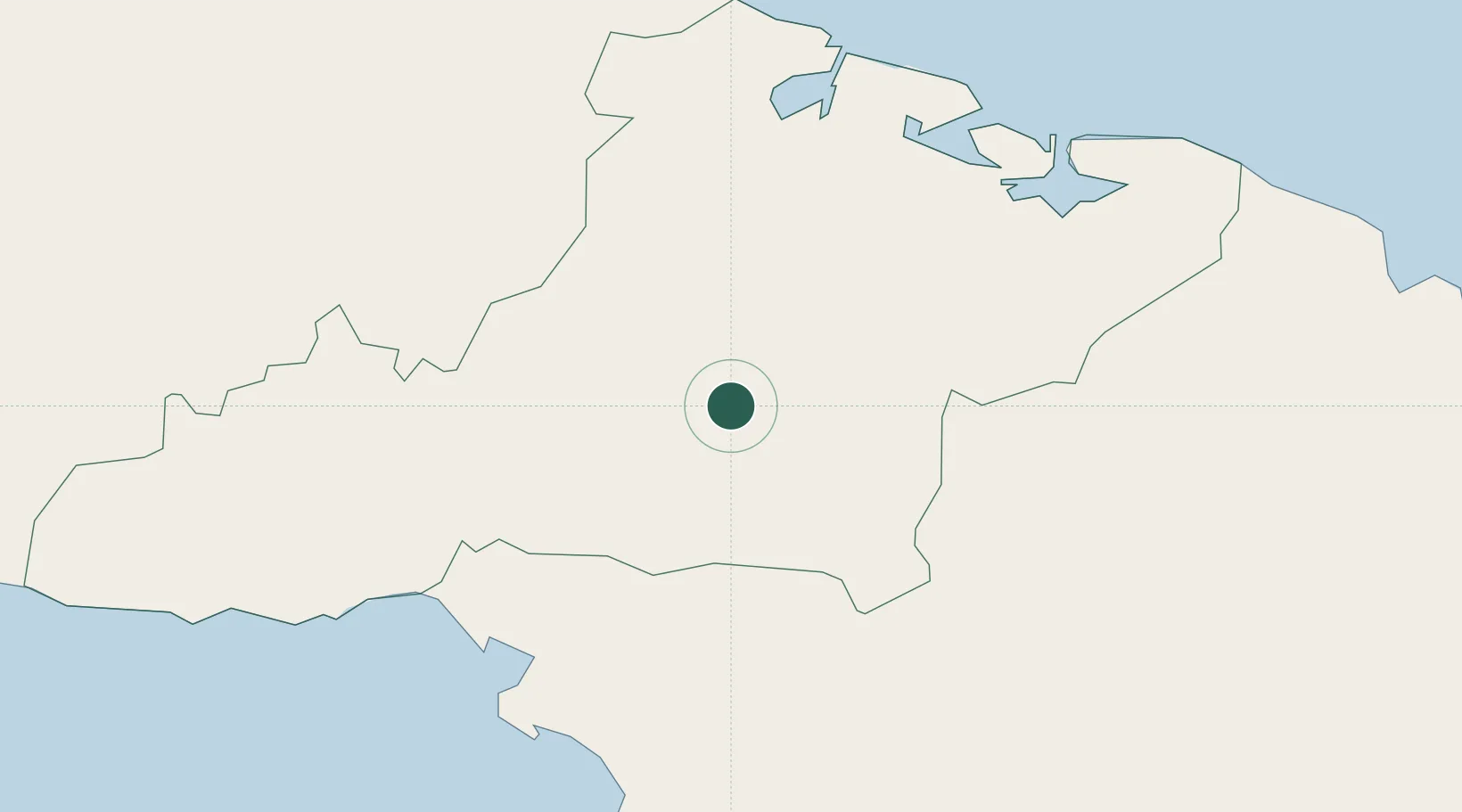
Location
Nearby Logistics Neighbours
Cities
- 1Puerto Padre46 km
- 2Puerto Manatí48 km
- 3Puerto de Pastelillo72 km
- 4Nuevitas74 km
- 5Bufadero75 km
Ports
- 1Manati48 km
- 2Puerto Padre57 km
- 3Manzanillo69 km
- 4Nuevitas Bay74 km
- 5Guayabal75 km
Airports
Trade Zones
- 1Cazoumar Free Zone295 km
- 2Montego Bay Free Zone295 km
- 3Spanish Town Free Zone328 km
- 458 HWT Tech Park328 km
- 5Caymanas Special Economic Zone328 km
DatabookThe Record of Consolidated Knowledge
Cuba beyond logistics?