Large airport · Colombia
El Dorado International AirportSKBO
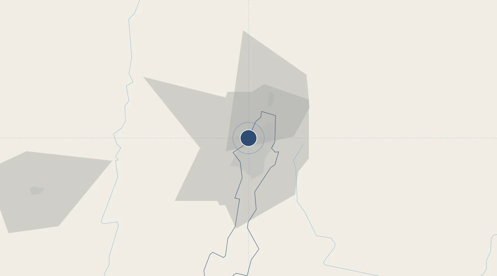
4.7016°, -74.1469°
12,467 ft
Longest runway
2
Runways
8,361 ft
Elevation
Runway & Layout

Radio Frequencies
ATIS
113.9 MHz
APP
119.5 MHz
BOGOTA APP
DEP
119.5 MHz
BOGOTA DEP
INFO
126.9 MHz
BOGOTA FIS
OPS
1395 MHz
MILGP RDO OPS
RDO
348.8 MHz
BOGOTA RDO
Navaids
BOG VOR-DME Bogota 113.90 MHz
BOG NDB Bogota 340 kHz
DR NDB Delta Romeo 264 kHz
R NDB Romeo 274 kHz
TEH NDB Techo 284 kHz
ZIP VOR-DME Zipaquira 114.70 MHz
Runways · 2
| Runway | Dimensions | Surface | True heading | Lit |
|---|---|---|---|---|
| 14L/32R | 12,467 × 148ft | Asphalt | 127° | ✓ |
| 14R/32L | 12,467 × 148ft | Asphalt | 127° | ✓ |
Airport Specifications
IATA code
BOG
ICAO code
SKBO
Airport class
Large airport
Scheduled service
Yes
Runway surface
Asphalt
Served city
Bogota
Location
Nearby Logistics Neighbours
Airports
- 1Vanguardia Airport84 km
- 2Santiago Vila Airport86 km
- 3Gomez Nino Apiay Air Base95 km
- 4Mariquita Airport99 km
- 5German Olano Air Base104 km
Ports
- 1Buenaventura336 km
- 2Turbo472 km
- 3Covenas551 km
- 4Covenas Offshore Term.562 km
- 5Tumaco603 km
Trade Zones
DatabookThe Record of Consolidated Knowledge
Colombia beyond logistics?