UN/LOCODE hub · Colombia
COECB

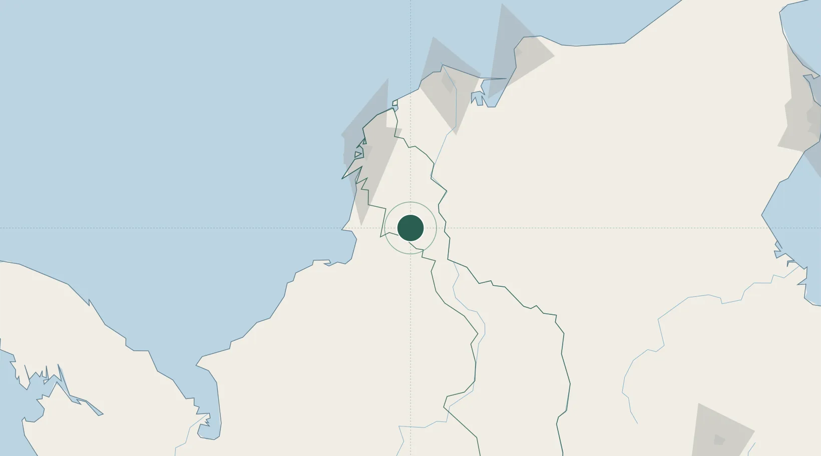
El Carmen de Bolívar

9.7167°, -75.1167°
47,957
Population
2
Transport functions

Transport Functions

Rail
Road
UN/LOCODE

Hub Profile

Place type
Provincial seat
GeoNames
Region
Bolívar
GeoNames
Population
47,957
GeoNames
Time zone
America/Bogota
GeoNames
Elevation
153 m
GeoNames

Location

Location of COECB
Natural Earth 10m (public domain) · Bolívar · COECB · 9.72, -75.12GoogleOSMYandex

Nearby Logistics Neighbours

Cities
  1. 1Tolú55 km
  2. 2Covenas Offshore Terminal72 km
  3. 3Turbaco74 km
  4. 4Mamonal79 km
  5. 5Cartagena84 km
Nearest neighbours — logibook spatial index (haversine) over the source coordinates
Ports
  1. 1Covenas71 km
  2. 2Covenas Offshore Term.72 km
  3. 3Mamonal80 km
  4. 4El Bosque89 km
  5. 5Cartagena90 km
Nearest neighbours — logibook spatial index (haversine) over the source coordinates
Airports
  1. 1Las Brujas Airport47 km
  2. 2Golfo de Morrosquillo Airport56 km
  3. 3Baracoa Airport57 km
  4. 4Coveñas Airport72 km
  5. 5Rafael Nuñez International Airport92 km
Nearest neighbours — logibook spatial index (haversine) over the source coordinates
DatabookThe Record of Consolidated Knowledge
Colombia beyond logistics?
Browse databook

All Sources

LocationsUN/LOCODE
UN/LOCODE — free
LocationsGeoNames
CC BY 4.0
Portsthe NGA World Port Index
Public domain (US gov)
AirportsOurAirports
Public domain
Trade Zonesthe World Bank SEZ database
CC BY 4.0
Trade ZonesOpen Zone Map
CC BY
← Colombia locations