Medium airport · Colombia
Las Brujas AirportSKCZ
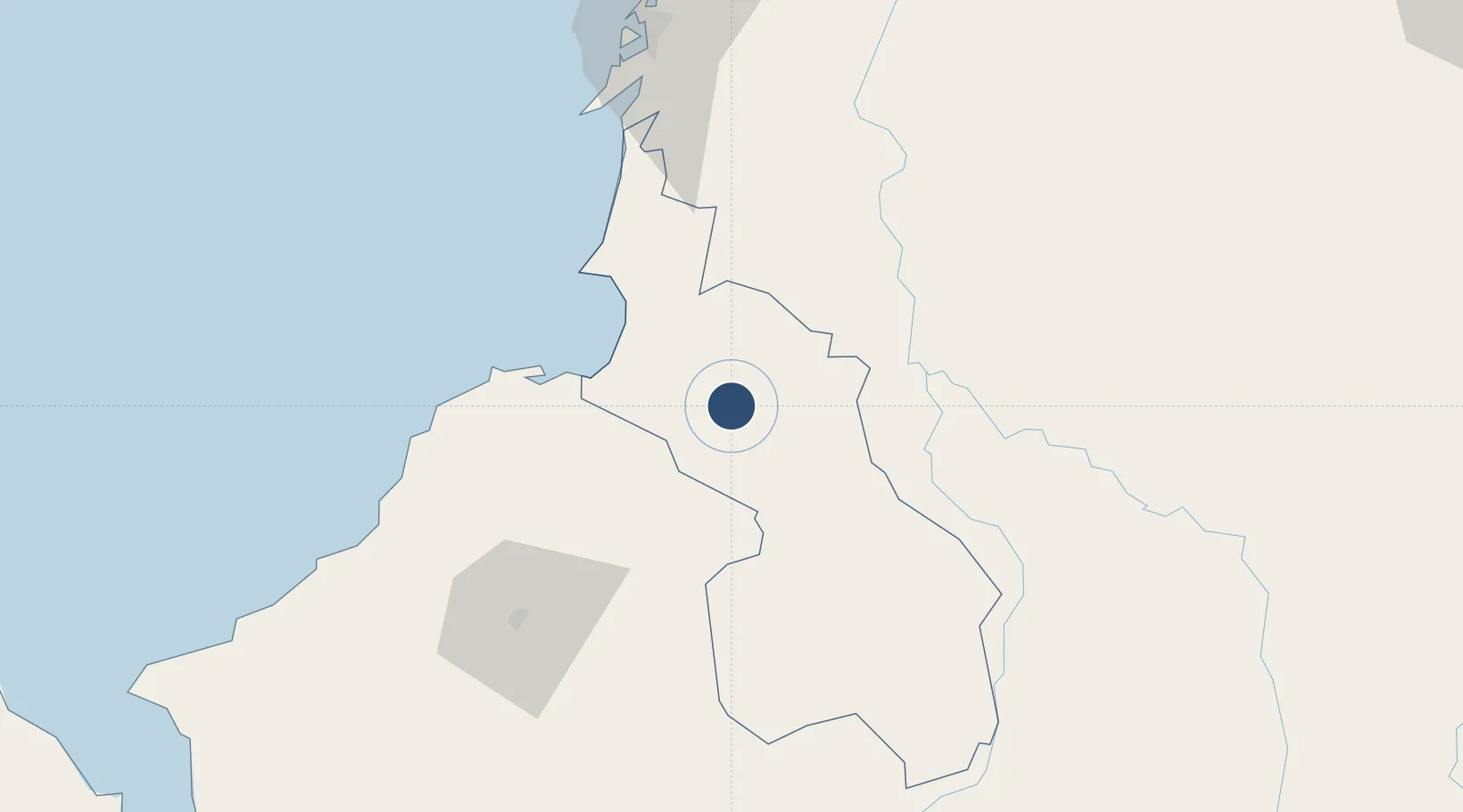
9.3327°, -75.2856°
4,930 ft
Longest runway
1
Runways
528 ft
Elevation
Runway & Layout

Radio Frequencies
TWR
118.4 MHz
RDO
348.8 MHz
COROZAL RDO
Runways · 1
| Runway | Dimensions | Surface | True heading | Lit |
|---|---|---|---|---|
| 02/20 | 4,930 × 98ft | Asphalt | 020° | ✓ |
Airport Specifications
IATA code
CZU
ICAO code
SKCZ
Airport class
Medium airport
Scheduled service
Yes
Runway surface
Asphalt
Served city
Corozal
Location
Nearby Logistics Neighbours
Airports
- 1Golfo de Morrosquillo Airport38 km
- 2Coveñas Airport45 km
- 3Baracoa Airport49 km
- 4Los Garzones Airport82 km
- 5Rafael Nuñez International Airport126 km
Cities
- 1Tolú40 km
- 2El Carmen de Bolívar47 km
- 3Covenas Offshore Terminal53 km
- 4Puerto Limón99 km
- 5Turbaco110 km
Ports
- 1Covenas45 km
- 2Covenas Offshore Term.53 km
- 3Mamonal112 km
- 4El Bosque122 km
- 5Cartagena124 km
DatabookThe Record of Consolidated Knowledge
Colombia beyond logistics?