Small airport · Colombia
Golfo de Morrosquillo AirportSKTL
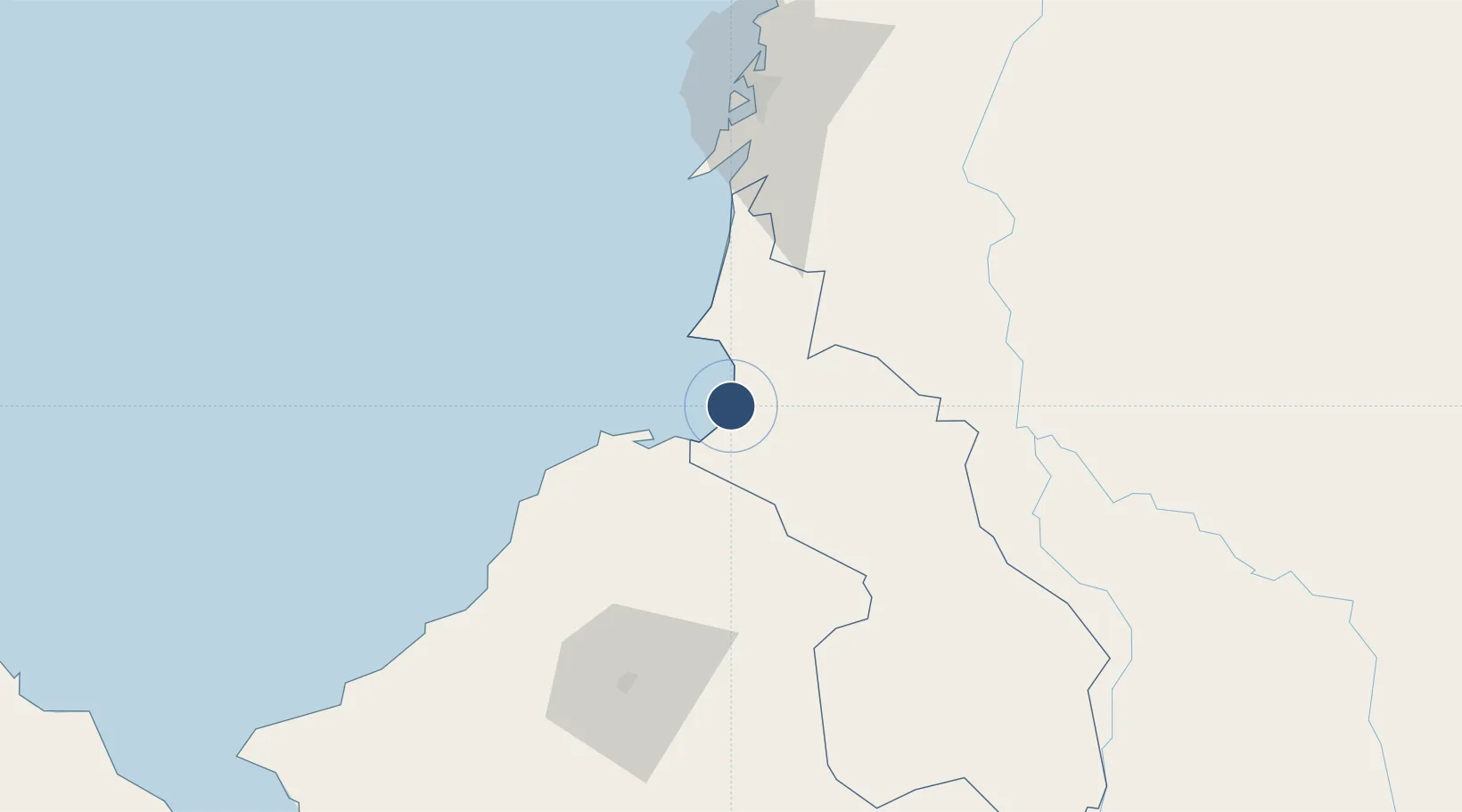
9.5094°, -75.5854°
4,429 ft
Longest runway
1
Runways
16 ft
Elevation
Runway & Layout

Runways · 1
| Runway | Dimensions | Surface | True heading | Lit |
|---|---|---|---|---|
| 17/35 | 4,429 × —ft | Asphalt | — | — |
Airport Specifications
IATA code
TLU
ICAO code
SKTL
Airport class
Small airport
Scheduled service
Yes
Runway surface
Asphalt
Served city
Santiago de Tolú
Location
Nearby Logistics Neighbours
Airports
- 1Coveñas Airport17 km
- 2Las Brujas Airport38 km
- 3Los Garzones Airport81 km
- 4Baracoa Airport85 km
- 5Rafael Nuñez International Airport104 km
Cities
- 1Tolú3 km
- 2Covenas Offshore Terminal16 km
- 3El Carmen de Bolívar56 km
- 4Puerto Limón67 km
- 5Mamonal90 km
Ports
- 1Covenas15 km
- 2Covenas Offshore Term.16 km
- 3Mamonal90 km
- 4El Bosque99 km
- 5Cartagena101 km
DatabookThe Record of Consolidated Knowledge
Colombia beyond logistics?