UN/LOCODE hub · Colombia
COPCR
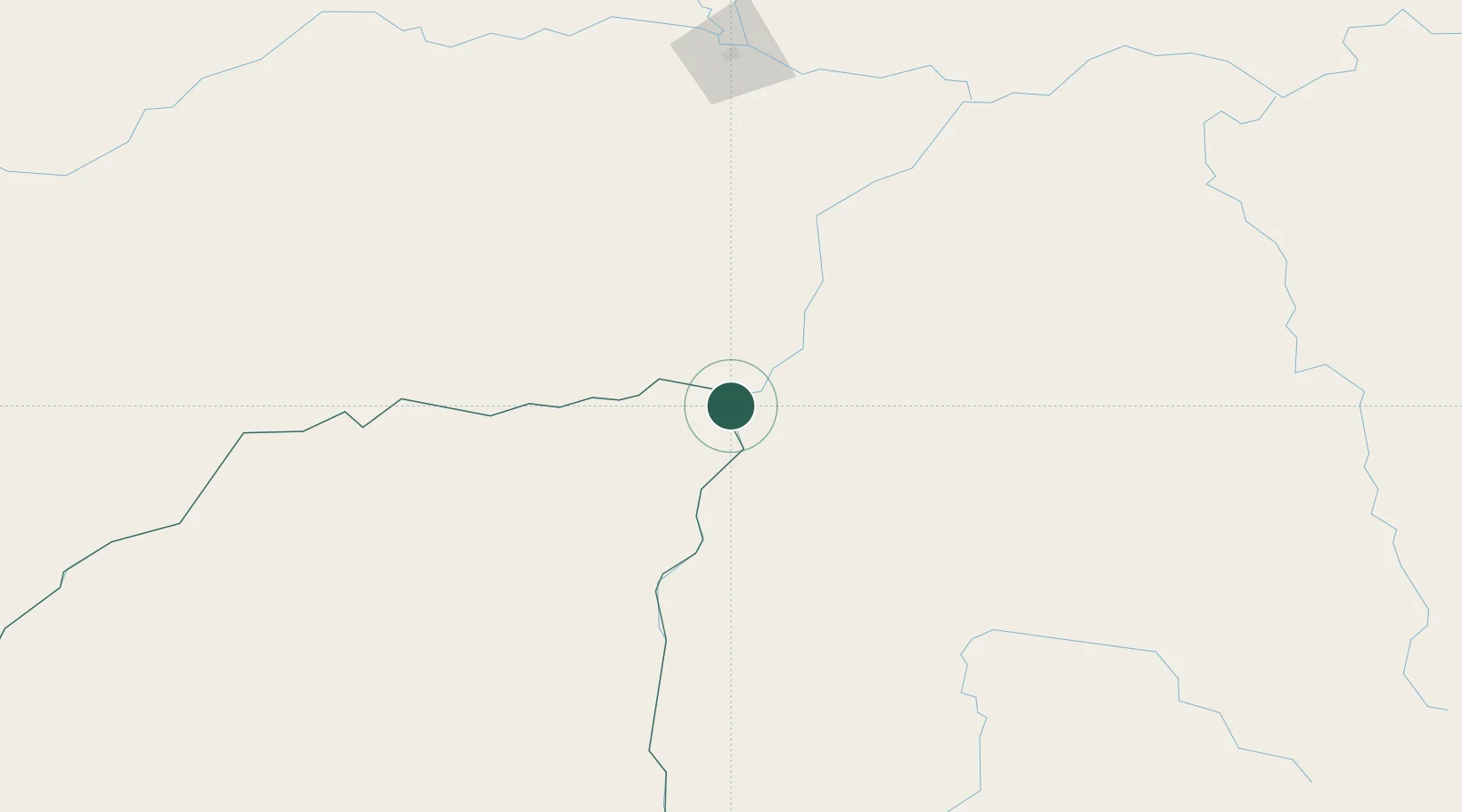
Puerto Carreño
6.1833°, -67.4833°
20,936
Population
3
Transport functions
Transport Functions
Port
Road
Airport
Hub Profile
Place type
Regional capital
Region
Vichada Department
Population
20,936
Time zone
America/Bogota
Elevation
16 m
Location
Nearby Logistics Neighbours
Cities
- 1Puerto Páez5 km
- 2El Pinal188 km
- 3Mantecal240 km
- 4El Playon367 km
- 5Kinkora406 km
Ports
- 1Puerto Borburata481 km
- 2Puerto Cabello482 km
- 3El Palito483 km
- 4Ciudad Bolivar485 km
- 5Catia La Mar494 km
Airports
Trade Zones
- 1Guarenas-Guatire Special Economic Zone487 km
- 2Scientific, Cultural and Technological Free Zone of the State of Mérida (Zona Libre Cultural, Científica y Tecnológica del Estado Mérida)489 km
- 3Morón Puerto Cabello Special Economic Zone489 km
- 4Urema-San Antonio Special Border Economic Zone580 km
- 5Zona Franca de Cúcuta586 km
DatabookThe Record of Consolidated Knowledge
Colombia beyond logistics?