Free Trade Zone · Venezuela

Guarenas-Guatire Special Economic Zone Active
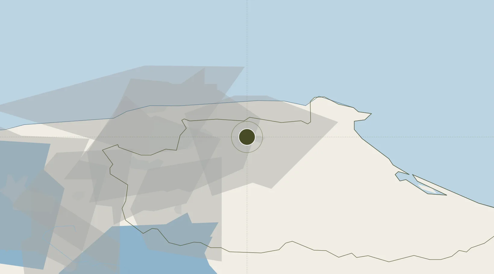
10.4741°, -66.5896°
40.8 km
Nearest port
27.8 km
Nearest airport

Gateway access

Nearest neighbours — logibook spatial index (haversine) over the source coordinates

Zone profile

Zone type
Free Trade Zone
Open Zone Map
Region
Miranda
Open Zone Map
Status
Active
Open Zone Map
Management
Public
Open Zone Map
Operator
Héctor Rodríguez
Open Zone Map
Legal framework
Decree No. 3,440
Open Zone Map

Location

Location of ozm-5326
Natural Earth 10m (public domain) · Miranda · ozm-5326 · 10.47, -66.59GoogleOSMYandex

Nearby Logistics Neighbours

Ports
  1. 1La Guaira41 km
  2. 2Catia La Mar49 km
  3. 3Puerto Borburata152 km
  4. 4Puerto Cabello154 km
  5. 5El Palito167 km
Nearest neighbours — logibook spatial index (haversine) over the source coordinates
Cities
  1. 1Guarenas3 km
  2. 2Guatire6 km
  3. 3Fila de Mariches10 km
  4. 4El Cafetal25 km
  5. 5Los Anaucos36 km
Nearest neighbours — logibook spatial index (haversine) over the source coordinates
Trade Zones
  1. 1Morón Puerto Cabello Special Economic Zone179 km
  2. 2Zona Franca Industrial, Comercial y de Servicios de Cumaná262 km
  3. 3Free Port of the Nueva Esparta State280 km
  4. 4Industrial Park Brievengat312 km
  5. 5Harbor Free Zone Curaçao313 km
Nearest neighbours — logibook spatial index (haversine) over the source coordinates
DatabookThe Record of Consolidated Knowledge
Venezuela beyond logistics?
Browse databook

All Sources

Trade ZonesOpen Zone Map
CC BY
Portsthe NGA World Port Index
Public domain (US gov)
AirportsOurAirports
Public domain
LocationsUN/LOCODE
UN/LOCODE — free
← Venezuela trade zones