Transport Functions
Port
Multimodal
Hub Profile
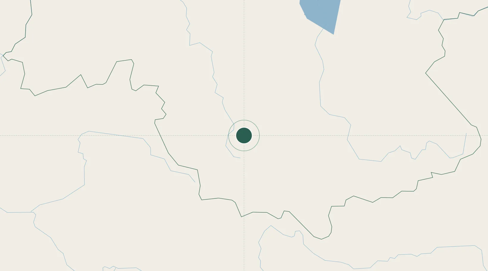
Place type
Populated place
Region
Prince Edward Island
Time zone
America/Halifax
Elevation
32 m
Location
Nearby Logistics Neighbours
Cities
- 1Santa Elena de Uairén321 km
- 2Pacaraima324 km
- 3Ciudad Bolívar345 km
- 4Scotland374 km
- 5Palúa395 km
Ports
- 1Ciudad Bolivar346 km
- 2Puerto Ordaz393 km
- 3Palua396 km
- 4Jose Terminal569 km
- 5Caripito577 km
Airports
- 1Canaima Airport183 km
- 2El Dorado Airport320 km
- 3Santa Elena de Uairén Airport321 km
- 4General Tomas de Heres Airport345 km
- 5Tumeremo Airport367 km
Trade Zones
DatabookThe Record of Consolidated Knowledge
Canada beyond logistics?