Economic Revitalization Project · Venezuela
Scientific, Cultural and Technological Free Zone of the State of Mérida (Zona Libre Cultural, Científica y Tecnológica del Estado Mérida) Active
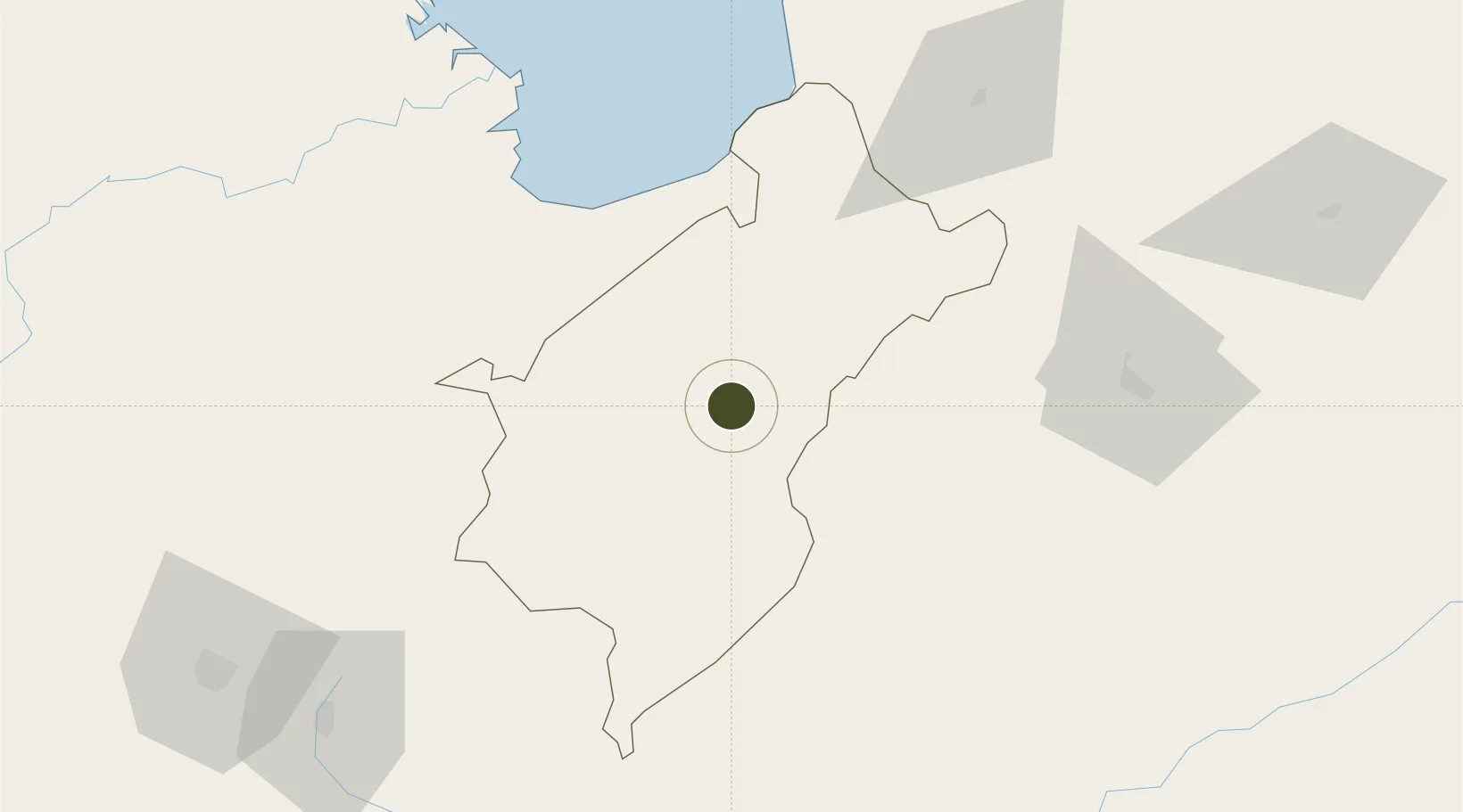
8.5554°, -71.2151°
1,130,000 ha
Zone area
137.5 km
Nearest port
6.6 km
Nearest airport
Gateway access
Zone profile
Zone type
Economic Revitalization Project
Region
Mérida
Status
Active
Management
Public
Operator
SENIAT
Legal framework
Gaceta Oficial de la República de Venezuela N° 4.937
Location
Nearby Logistics Neighbours
Ports
- 1San Lorenzo138 km
- 2La Salina203 km
- 3Bajo Grande223 km
- 4Maracaibo235 km
- 5El Tabiazo248 km
Airports
Cities
- 1Seboruco105 km
- 2San Lorenzo/maracaibo L138 km
- 3Ureña153 km
- 4Chiquinquirá214 km
- 5Maracaibo236 km
Trade Zones
- 1Urema-San Antonio Special Border Economic Zone153 km
- 2Zona Franca de Cúcuta158 km
- 3Free Zone ATUJA229 km
- 4Santander Free Trade Zone268 km
- 5Free Zone for the Promotion of Tourism Investment in the Paraguaná Peninsula (Zona Libre para el Fomento de la Inversión Turística de la Península de Paraguaná)379 km
DatabookThe Record of Consolidated Knowledge
Venezuela beyond logistics?