Transport Functions
Multimodal
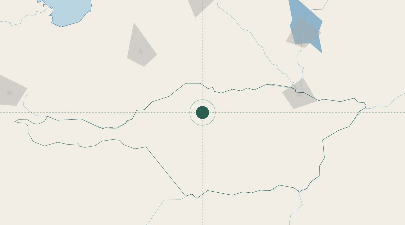
Hub Profile
Place type
Populated place
Region
Apure
Time zone
America/Caracas
Elevation
83 m
Location
Nearby Logistics Neighbours
Cities
- 1El Pinal54 km
- 2El Playon171 km
- 3Araure223 km
- 4Puerto Carreño240 km
- 5Puerto Páez240 km
Ports
- 1San Lorenzo324 km
- 2El Palito344 km
- 3Puerto Cabello348 km
- 4Puerto Borburata349 km
- 5Puerto Chichiriviche385 km
Airports
- 1Elorza Airport68 km
- 2Palmarito Airport113 km
- 3Barinas Airport165 km
- 4Guanare Airport176 km
- 5Guasdualito Airport182 km
Trade Zones
- 1Scientific, Cultural and Technological Free Zone of the State of Mérida (Zona Libre Cultural, Científica y Tecnológica del Estado Mérida)253 km
- 2Morón Puerto Cabello Special Economic Zone344 km
- 3Urema-San Antonio Special Border Economic Zone365 km
- 4Zona Franca de Cúcuta371 km
- 5Guarenas-Guatire Special Economic Zone428 km
DatabookThe Record of Consolidated Knowledge
Venezuela beyond logistics?