Medium airport · Colombia
Marandúa Air BaseSKUA
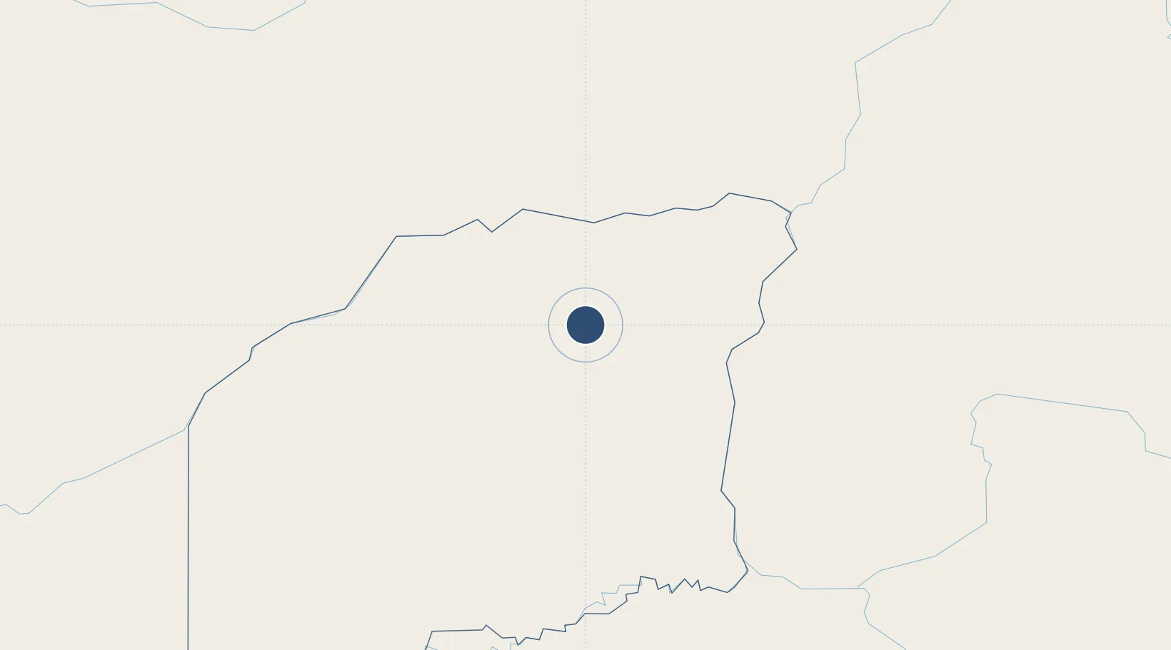
5.5245°, -68.6856°
8,110 ft
Longest runway
2
Runways
285 ft
Elevation
Runway & Layout

Radio Frequencies
TWR
118.5 MHz
RODRIGUEZ TWR
APP
124.1 MHz
MARANDUA APP
Runways · 2
| Runway | Dimensions | Surface | True heading | Lit |
|---|---|---|---|---|
| 03/21 | 8,110 × 100ft | Graded earth | 024° | ✓ |
| 07/25 | 6,780 × 145ft | Asphalt | 063° | ✓ |
Airport Specifications
ICAO code
SKUA
Airport class
Medium airport
Scheduled service
No
Runway surface
Graded earth
Served city
Marandúa
Location
Nearby Logistics Neighbours
Airports
- 1Cacique Aramare Airport120 km
- 2German Olano Airport151 km
- 3Elorza Airport193 km
- 4Obando Cesar Gaviria Trujillo Airport205 km
- 5Palmarito Airport281 km
Cities
- 1Puerto Carreño152 km
- 2Puerto Páez157 km
- 3El Pinal205 km
- 4Mantecal233 km
- 5El Playon399 km
Ports
- 1San Lorenzo541 km
- 2El Palito555 km
- 3Puerto Cabello557 km
- 4Puerto Borburata557 km
- 5Catia La Mar594 km
Trade Zones
- 1Scientific, Cultural and Technological Free Zone of the State of Mérida (Zona Libre Cultural, Científica y Tecnológica del Estado Mérida)438 km
- 2Urema-San Antonio Special Border Economic Zone493 km
- 3Zona Franca de Cúcuta498 km
- 4Santander Free Trade Zone520 km
- 5Morón Puerto Cabello Special Economic Zone558 km
DatabookThe Record of Consolidated Knowledge
Colombia beyond logistics?