Medium airport · Venezuela
San Fernando de Apure Las Flecheras National AirportSVSR
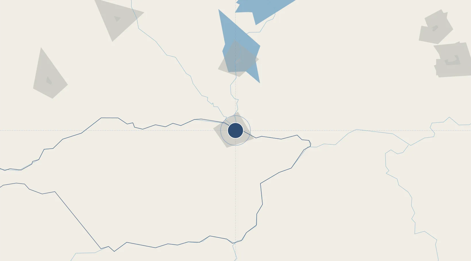
7.8833°, -67.4440°
6,420 ft
Longest runway
1
Runways
154 ft
Elevation
Runway & Layout

Radio Frequencies
TWR
118.15 MHz
GND
121.9 MHz
Navaids
SFD VOR-DME San Fernando De Apure 112.10 MHz
SFD NDB San Fernando De Apure 333 kHz
Runways · 1
| Runway | Dimensions | Surface | True heading | Lit |
|---|---|---|---|---|
| 11/29 | 6,420 × 160ft | Asphalt | 108° | — |
Airport Specifications
IATA code
SFD
ICAO code
SVSR
Airport class
Medium airport
Scheduled service
No
Runway surface
Asphalt
Served city
San Fernando de Apure
Location
Nearby Logistics Neighbours
Airports
- 1Calabozo Airport116 km
- 2Caicara del Orinoco Airport144 km
- 3German Olano Airport189 km
- 4Valle de La Pascua Airport218 km
- 5San Juan de Los Morros Airport225 km
Cities
- 1El Pinal150 km
- 2Puerto Páez185 km
- 3Puerto Carreño189 km
- 4Mantecal191 km
- 5El Playon221 km
Ports
- 1Puerto Borburata295 km
- 2Puerto Cabello296 km
- 3El Palito298 km
- 4Catia La Mar306 km
- 5La Guaira309 km
Trade Zones
- 1Guarenas-Guatire Special Economic Zone303 km
- 2Morón Puerto Cabello Special Economic Zone306 km
- 3Scientific, Cultural and Technological Free Zone of the State of Mérida (Zona Libre Cultural, Científica y Tecnológica del Estado Mérida)422 km
- 4Zona Franca Industrial, Comercial y de Servicios de Cumaná456 km
- 5Harbor Free Zone Curaçao495 km
DatabookThe Record of Consolidated Knowledge
Venezuela beyond logistics?