Transport Functions
Multimodal
Hub Profile
Place type
Provincial seat
Region
Portuguesa
Time zone
America/Caracas
Elevation
100 m
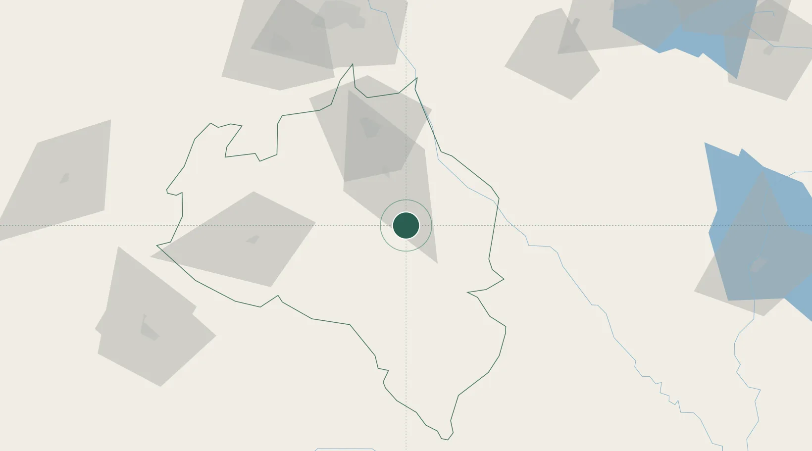
Location
Nearby Logistics Neighbours
Cities
- 1Araure56 km
- 2La Miel74 km
- 3Sabana de Parra113 km
- 4Los Guayos170 km
- 5Mantecal171 km
Ports
- 1El Palito184 km
- 2Puerto Cabello191 km
- 3Puerto Borburata192 km
- 4Puerto Chichiriviche219 km
- 5San Lorenzo236 km
Airports
- 1Oswaldo Guevara Mujica Airport55 km
- 2Guanare Airport80 km
- 3Jacinto Lara International Airport111 km
- 4Sub Teniente Nestor Arias Airport135 km
- 5Barinas Airport141 km
Trade Zones
- 1Morón Puerto Cabello Special Economic Zone181 km
- 2Scientific, Cultural and Technological Free Zone of the State of Mérida (Zona Libre Cultural, Científica y Tecnológica del Estado Mérida)247 km
- 3Guarenas-Guatire Special Economic Zone308 km
- 4Paraguana SEZ317 km
- 5Free Zone for the Promotion of Tourism Investment in the Paraguaná Peninsula (Zona Libre para el Fomento de la Inversión Turística de la Península de Paraguaná)331 km
DatabookThe Record of Consolidated Knowledge
Venezuela beyond logistics?